
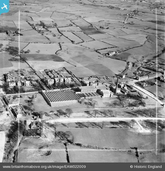
EAW022009 ENGLAND (1949). Balderstone Cotton Mill, Balderstone, 1949. This image was marked by Aerofilms Ltd for photo editing.
© Copyright OpenStreetMap contributors and licensed by the OpenStreetMap Foundation. 2026. Cartography is licensed as CC BY-SA.
Nearby Images (7)
EAW022009

EAW022012

EAW022010

EAW022011

EAW022013

EAW022015

EAW022014

Details
| Title | [EAW022009] Balderstone Cotton Mill, Balderstone, 1949. This image was marked by Aerofilms Ltd for photo editing. |
| Reference | EAW022009 |
| Date | 14-April-1949 |
| Link | |
| Place name | BALDERSTONE |
| Parish | |
| District | |
| Country | ENGLAND |
| Easting / Northing | 390575, 410961 |
| Longitude / Latitude | -2.1424191619069, 53.59489995826 |
| National Grid Reference | SD906110 |
Pins

jimmyjoggers |
Wednesday 10th of December 2014 09:02:20 AM | |
|
Mikeya |
Monday 18th of August 2014 08:00:31 PM | |
|
Mikeya |
Monday 18th of August 2014 07:59:33 PM |