
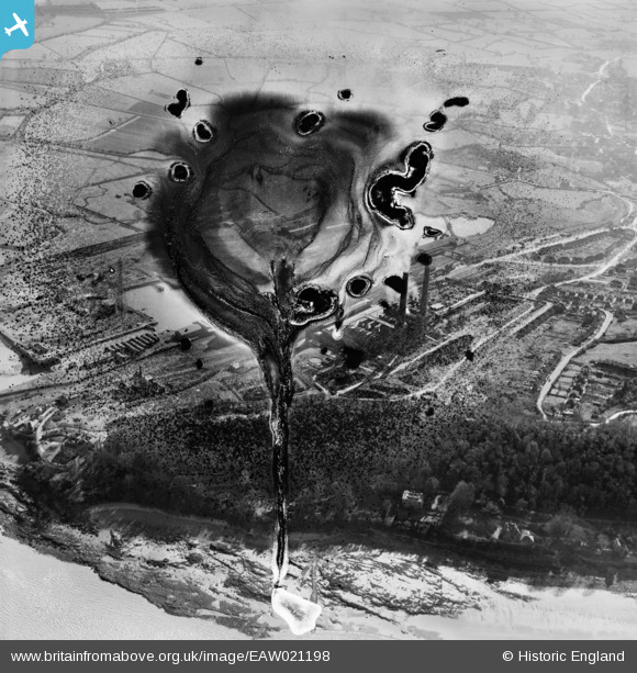
EAW021198 ENGLAND (1949). Portishead Power Station at Portishead Dock and environs, Portishead, 1949. This image has been produced from a damaged negative.
© Copyright OpenStreetMap contributors and licensed by the OpenStreetMap Foundation. 2026. Cartography is licensed as CC BY-SA.
Nearby Images (6)
EAW021198

EAW021199

EPW005556

EAW002076

EPW005557

EAW002075

Details
| Title | [EAW021198] Portishead Power Station at Portishead Dock and environs, Portishead, 1949. This image has been produced from a damaged negative. |
| Reference | EAW021198 |
| Date | 2-March-1949 |
| Link | |
| Place name | PORTISHEAD |
| Parish | PORTISHEAD AND NORTH WESTON |
| District | |
| Country | ENGLAND |
| Easting / Northing | 347272, 177215 |
| Longitude / Latitude | -2.759557233017, 51.490935471973 |
| National Grid Reference | ST473772 |
Pins

redmist |
Saturday 7th of November 2020 09:07:52 PM |