
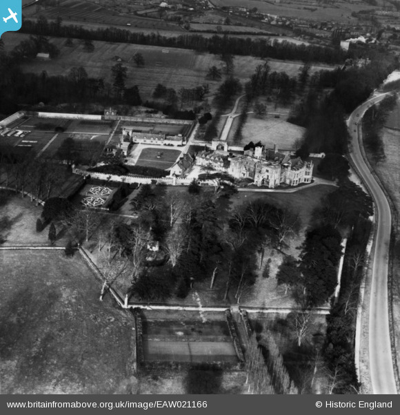
EAW021166 ENGLAND (1949). Hinchingbrooke House, Huntingdon, 1949. This image has been produced from a print.
© Copyright OpenStreetMap contributors and licensed by the OpenStreetMap Foundation. 2026. Cartography is licensed as CC BY-SA.
Nearby Images (12)
EAW021166

EPW009844

EPW014428

EAW021165

EAW021162

EPW041332

EAW021164

EAW021163

EAW051766

EAW021161

EAW051765

EAW051764

Details
| Title | [EAW021166] Hinchingbrooke House, Huntingdon, 1949. This image has been produced from a print. |
| Reference | EAW021166 |
| Date | 25-February-1949 |
| Link | |
| Place name | HUNTINGDON |
| Parish | HUNTINGDON |
| District | |
| Country | ENGLAND |
| Easting / Northing | 522685, 271466 |
| Longitude / Latitude | -0.19950438250111, 52.327166870458 |
| National Grid Reference | TL227715 |
Pins
Be the first to add a comment to this image!