
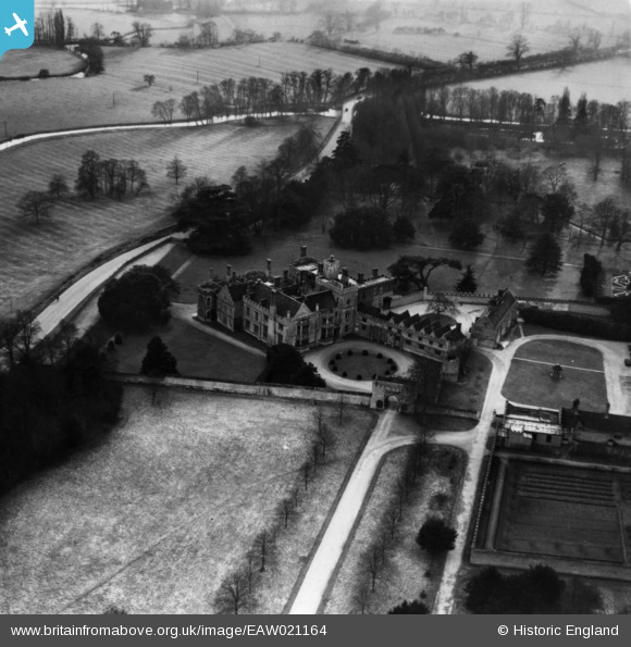
EAW021164 ENGLAND (1949). Hinchingbrooke House, Huntingdon, 1949. This image has been produced from a print.
© Copyright OpenStreetMap contributors and licensed by the OpenStreetMap Foundation. 2026. Cartography is licensed as CC BY-SA.
Nearby Images (12)
EAW021164

EPW041332

EAW021163

EAW021162

EPW009844

EAW021165

EPW014428

EAW021166

EAW051766

EAW051765

EAW021161

EAW051764

Details
| Title | [EAW021164] Hinchingbrooke House, Huntingdon, 1949. This image has been produced from a print. |
| Reference | EAW021164 |
| Date | 25-February-1949 |
| Link | |
| Place name | HUNTINGDON |
| Parish | HUNTINGDON |
| District | |
| Country | ENGLAND |
| Easting / Northing | 522739, 271492 |
| Longitude / Latitude | -0.19870282319124, 52.327388449911 |
| National Grid Reference | TL227715 |
Pins

Matt Aldred edob.mattaldred.com |
Friday 3rd of May 2019 04:59:27 PM | |

MBabove |
Friday 8th of January 2016 12:24:26 PM |