
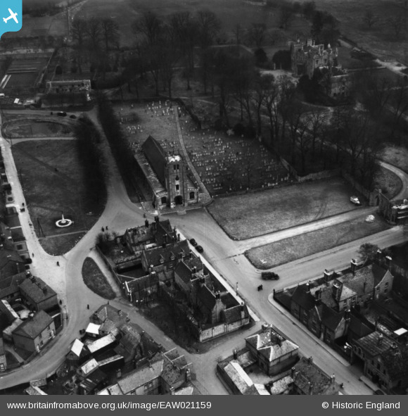
EAW021159 ENGLAND (1949). St Thomas
© Copyright OpenStreetMap contributors and licensed by the OpenStreetMap Foundation. 2026. Cartography is licensed as CC BY-SA.
Nearby Images (6)
EAW021159

EAW021156

EAW021155

EAW021160

EAW021157

EAW021158

Details
| Title | [EAW021159] St Thomas |
| Reference | EAW021159 |
| Date | 25-February-1949 |
| Link | |
| Place name | RAMSEY |
| Parish | RAMSEY |
| District | |
| Country | ENGLAND |
| Easting / Northing | 529054, 285134 |
| Longitude / Latitude | -0.10082292810796, 52.448529477171 |
| National Grid Reference | TL291851 |
Pins

Matt Aldred edob.mattaldred.com |
Tuesday 7th of January 2025 05:07:23 PM |