
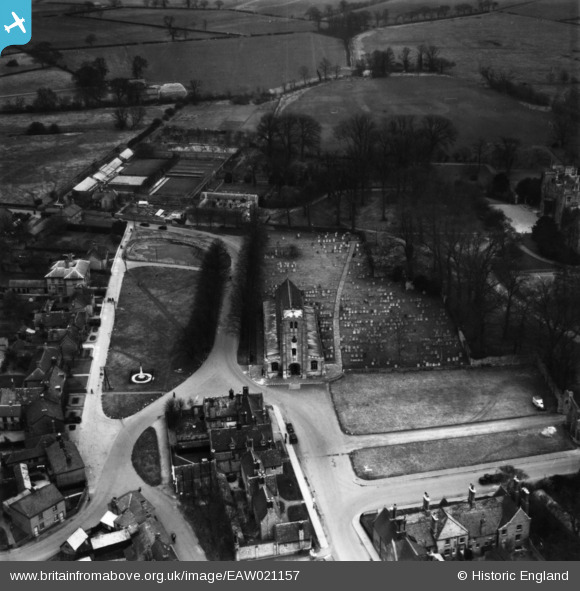
EAW021157 ENGLAND (1949). St Thomas
© Copyright OpenStreetMap contributors and licensed by the OpenStreetMap Foundation. 2026. Cartography is licensed as CC BY-SA.
Nearby Images (6)
EAW021157

EAW021156

EAW021155

EAW021159

EAW021158

EAW021160

Details
| Title | [EAW021157] St Thomas |
| Reference | EAW021157 |
| Date | 25-February-1949 |
| Link | |
| Place name | RAMSEY |
| Parish | RAMSEY |
| District | |
| Country | ENGLAND |
| Easting / Northing | 529094, 285151 |
| Longitude / Latitude | -0.10022805892589, 52.448672790227 |
| National Grid Reference | TL291852 |
Pins
Be the first to add a comment to this image!