
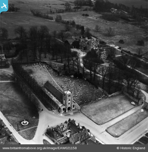
EAW021158 ENGLAND (1949). St Thomas
© Copyright OpenStreetMap contributors and licensed by the OpenStreetMap Foundation. 2026. Cartography is licensed as CC BY-SA.
Nearby Images (6)
EAW021158

EAW021155

EAW021157

EAW021160

EAW021156

EAW021159

Details
| Title | [EAW021158] St Thomas |
| Reference | EAW021158 |
| Date | 25-February-1949 |
| Link | |
| Place name | RAMSEY |
| Parish | RAMSEY |
| District | |
| Country | ENGLAND |
| Easting / Northing | 529118, 285109 |
| Longitude / Latitude | -0.09989132807803, 52.448289701806 |
| National Grid Reference | TL291851 |
Pins

cptpies |
Monday 21st of October 2019 10:19:32 AM |