
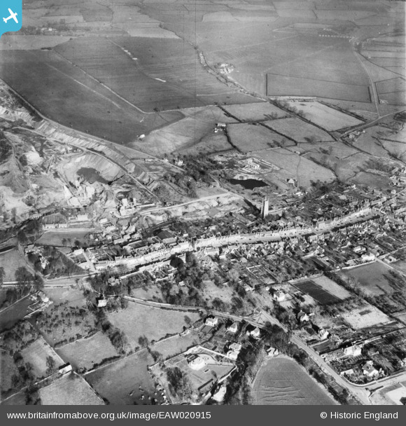
EAW020915 ENGLAND (1949). The town centre, Chipping Sodbury, 1949
© Copyright OpenStreetMap contributors and licensed by the OpenStreetMap Foundation. 2026. Cartography is licensed as CC BY-SA.
Nearby Images (10)
EAW020915

EAW020916

EAW020914

EPW029278

EPW024114

EPW029280

EPW029279

EPW029285

EPW029281

EPW029284

Details
| Title | [EAW020915] The town centre, Chipping Sodbury, 1949 |
| Reference | EAW020915 |
| Date | 4-February-1949 |
| Link | |
| Place name | CHIPPING SODBURY |
| Parish | SODBURY |
| District | |
| Country | ENGLAND |
| Easting / Northing | 372672, 182403 |
| Longitude / Latitude | -2.3940812109603, 51.53938611448 |
| National Grid Reference | ST727824 |
Pins

Class31 |
Wednesday 8th of January 2014 04:35:48 PM |
