
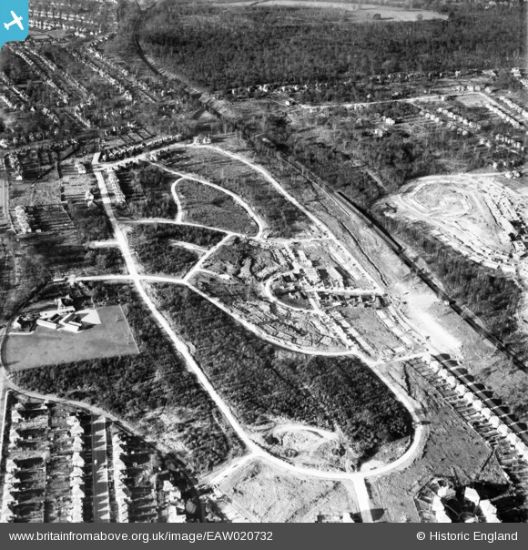
EAW020732 ENGLAND (1948). New housing development around Tillingbourne Green, Poverest, 1948
© Copyright OpenStreetMap contributors and licensed by the OpenStreetMap Foundation. 2026. Cartography is licensed as CC BY-SA.
Nearby Images (8)
EAW020732

EAW020731

EAW026808

EAW020718

EAW026814

EAW020719

EAW020720

EAW042071

Details
| Title | [EAW020732] New housing development around Tillingbourne Green, Poverest, 1948 |
| Reference | EAW020732 |
| Date | 24-December-1948 |
| Link | |
| Place name | POVEREST |
| Parish | |
| District | |
| Country | ENGLAND |
| Easting / Northing | 546005, 168107 |
| Longitude / Latitude | 0.098812916452401, 51.392694711065 |
| National Grid Reference | TQ460681 |
Pins
Be the first to add a comment to this image!