
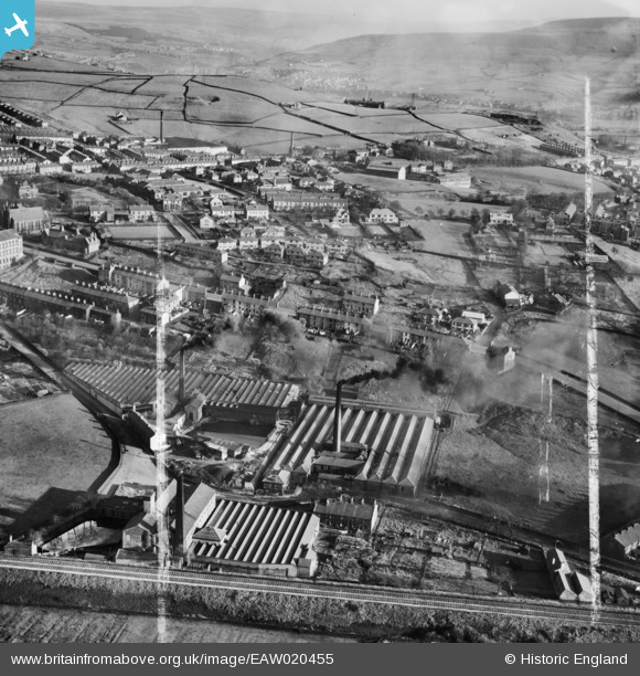
EAW020455 ENGLAND (1948). Spring Vale, Waterside and Charles Lane Cotton Mills and environs, Haslingden, 1948. This image was marked by Aerofilms Ltd for photo editing.
© Copyright OpenStreetMap contributors and licensed by the OpenStreetMap Foundation. 2026. Cartography is licensed as CC BY-SA.
Nearby Images (7)
EAW020455

EAW020456

EAW020454

EAW020457

EAW020451

EAW020453

EAW020452

Details
| Title | [EAW020455] Spring Vale, Waterside and Charles Lane Cotton Mills and environs, Haslingden, 1948. This image was marked by Aerofilms Ltd for photo editing. |
| Reference | EAW020455 |
| Date | 8-November-1948 |
| Link | |
| Place name | HASLINGDEN |
| Parish | |
| District | |
| Country | ENGLAND |
| Easting / Northing | 378370, 422798 |
| Longitude / Latitude | -2.3276677745353, 53.700942237014 |
| National Grid Reference | SD784228 |
Pins

wadey |
Sunday 9th of April 2023 02:28:41 PM | |
|
wadey |
Sunday 9th of April 2023 02:28:08 PM | |
|
wadey |
Sunday 9th of April 2023 02:26:36 PM | |
|
wadey |
Sunday 9th of April 2023 02:25:04 PM | |
|
wadey |
Sunday 9th of April 2023 02:23:53 PM | |
|
wadey |
Sunday 9th of April 2023 02:22:33 PM | |
|
wadey |
Sunday 9th of April 2023 02:20:38 PM | |
|
wadey |
Sunday 9th of April 2023 12:33:24 PM | |
|
wadey |
Sunday 9th of April 2023 12:31:59 PM | |
|
wadey |
Sunday 9th of April 2023 12:31:27 PM | |
|
wadey |
Sunday 9th of April 2023 12:30:08 PM |