
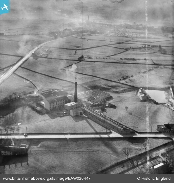
EAW020447 ENGLAND (1948). Syke Side Cotton Mill, Haslingden, 1948. This image was marked by Aerofilms Ltd for photo editing.
© Copyright OpenStreetMap contributors and licensed by the OpenStreetMap Foundation. 2026. Cartography is licensed as CC BY-SA.
Nearby Images (7)
EAW020447

EAW020449

EAW020450

EAW020448

EAW020444

EAW020446

EAW020445

Details
| Title | [EAW020447] Syke Side Cotton Mill, Haslingden, 1948. This image was marked by Aerofilms Ltd for photo editing. |
| Reference | EAW020447 |
| Date | 8-November-1948 |
| Link | |
| Place name | HASLINGDEN |
| Parish | |
| District | |
| Country | ENGLAND |
| Easting / Northing | 379137, 421981 |
| Longitude / Latitude | -2.3159938612427, 53.693629415926 |
| National Grid Reference | SD791220 |
Pins
Be the first to add a comment to this image!