
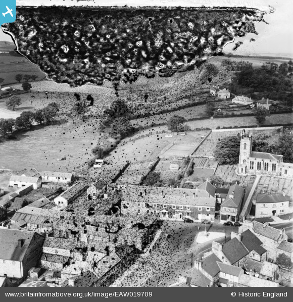
EAW019709 ENGLAND (1948). The Blue Bell Hotel and environs, Belford, 1948. This image has been produced from a damaged negative.
© Copyright OpenStreetMap contributors and licensed by the OpenStreetMap Foundation. 2026. Cartography is licensed as CC BY-SA.
Nearby Images (7)
EAW019709

EAW019706

EAW019708

EAW019712

EAW019711

EAW019707

EAW019710

Details
| Title | [EAW019709] The Blue Bell Hotel and environs, Belford, 1948. This image has been produced from a damaged negative. |
| Reference | EAW019709 |
| Date | 8-October-1948 |
| Link | |
| Place name | BELFORD |
| Parish | BELFORD |
| District | |
| Country | ENGLAND |
| Easting / Northing | 410745, 634018 |
| Longitude / Latitude | -1.829457553014, 55.599662329731 |
| National Grid Reference | NU107340 |
Pins

Matt Aldred edob.mattaldred.com |
Tuesday 9th of March 2021 05:32:05 PM | |

redmist |
Monday 28th of September 2020 09:06:49 AM |