
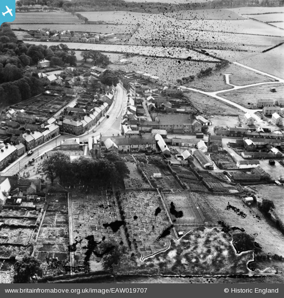
EAW019707 ENGLAND (1948). The Blue Bell Hotel and environs, Belford, 1948. This image has been produced from a damaged negative.
© Copyright OpenStreetMap contributors and licensed by the OpenStreetMap Foundation. 2026. Cartography is licensed as CC BY-SA.
Nearby Images (7)
EAW019707

EAW019711

EAW019712

EAW019710

EAW019706

EAW019708

EAW019709

Details
| Title | [EAW019707] The Blue Bell Hotel and environs, Belford, 1948. This image has been produced from a damaged negative. |
| Reference | EAW019707 |
| Date | 8-October-1948 |
| Link | |
| Place name | BELFORD |
| Parish | BELFORD |
| District | |
| Country | ENGLAND |
| Easting / Northing | 410835, 633935 |
| Longitude / Latitude | -1.8280323609666, 55.598914472676 |
| National Grid Reference | NU108339 |
Pins

redmist |
Monday 28th of September 2020 09:02:08 AM |