
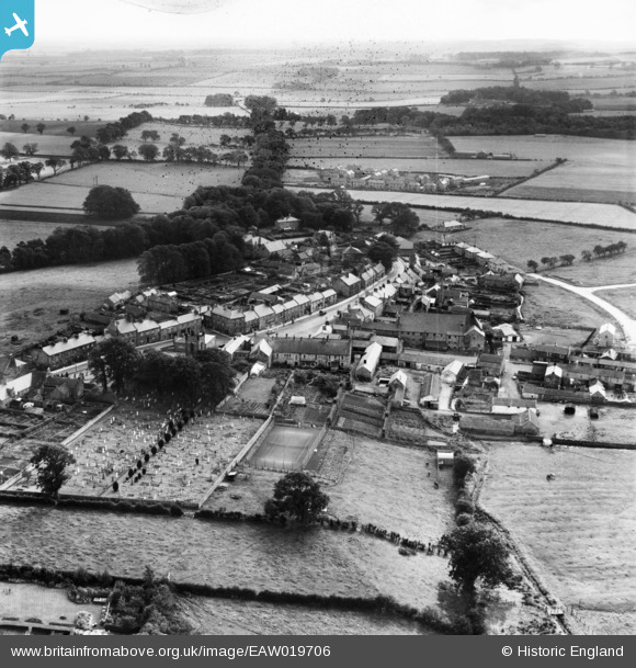
EAW019706 ENGLAND (1948). The village, Belford, from the north-west, 1948
© Copyright OpenStreetMap contributors and licensed by the OpenStreetMap Foundation. 2026. Cartography is licensed as CC BY-SA.
Nearby Images (7)
EAW019706

EAW019709

EAW019712

EAW019711

EAW019708

EAW019707

EAW019710

Details
| Title | [EAW019706] The village, Belford, from the north-west, 1948 |
| Reference | EAW019706 |
| Date | 8-October-1948 |
| Link | |
| Place name | BELFORD |
| Parish | BELFORD |
| District | |
| Country | ENGLAND |
| Easting / Northing | 410778, 634006 |
| Longitude / Latitude | -1.8289342555626, 55.599553764769 |
| National Grid Reference | NU108340 |
Pins
Be the first to add a comment to this image!