
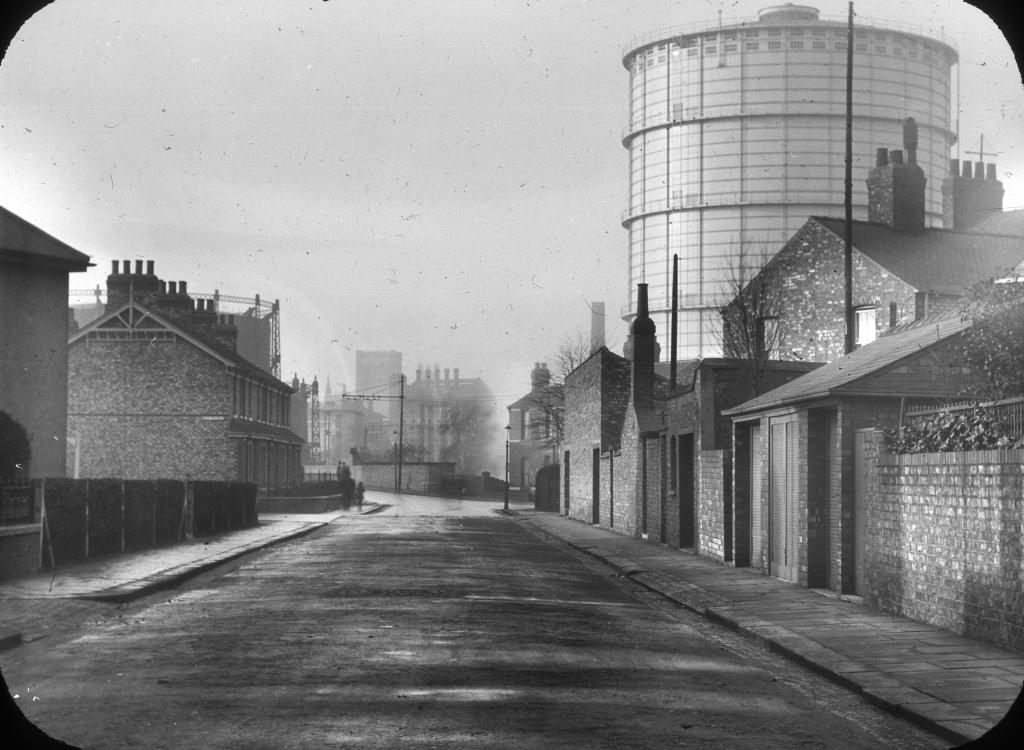
EAW018641 ENGLAND (1948). The Backhouse Nurseries and surrounding residential area, Holgate, 1948. This image has been produced from a print marked by Aerofilms Ltd for photo editing.

© Copyright OpenStreetMap contributors and licensed by the OpenStreetMap Foundation. 2026. Cartography is licensed as CC BY-SA.
Nearby Images (4)
EAW018641

EAW018638
 and the surrounding area, Holgate, 1948. This image has been produced from a damaged negative.")
EAW018639

EAW018636

Details
| Title | [EAW018641] The Backhouse Nurseries and surrounding residential area, Holgate, 1948. This image has been produced from a print marked by Aerofilms Ltd for photo editing. |
| Reference | EAW018641 |
| Date | 10-September-1948 |
| Link | |
| Place name | HOLGATE |
| Parish | |
| District | |
| Country | ENGLAND |
| Easting / Northing | 458197, 451433 |
| Longitude / Latitude | -1.1130165620853, 53.955515236901 |
| National Grid Reference | SE582514 |
Pins
Tegels |
Wednesday 12th of November 2014 04:41:59 PM |