
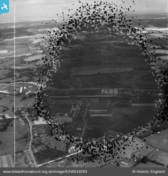
EAW018283 ENGLAND (1948). The Aylesford Paper Mills (site of), Ditton, from the south-west, 1948. This image has been produced from a damaged negative.
© Copyright OpenStreetMap contributors and licensed by the OpenStreetMap Foundation. 2026. Cartography is licensed as CC BY-SA.
Nearby Images (11)
EAW018283
, Ditton, from the south-west, 1948. This image has been produced from a damaged negative.")
EAW018282

EAW001981

EPW047722

EPW047724

EPW047721

EAW001972

EPW047723

EPW047725

EPW047726

EAW001980

Details
| Title | [EAW018283] The Aylesford Paper Mills (site of), Ditton, from the south-west, 1948. This image has been produced from a damaged negative. |
| Reference | EAW018283 |
| Date | 20-August-1948 |
| Link | |
| Place name | DITTON |
| Parish | DITTON |
| District | |
| Country | ENGLAND |
| Easting / Northing | 570899, 159519 |
| Longitude / Latitude | 0.45221091531011, 51.308584173341 |
| National Grid Reference | TQ709595 |
Pins
Be the first to add a comment to this image!