
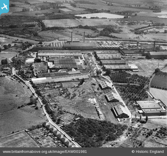
EAW001981 ENGLAND (1946). Aylesford Paper Mills, Ditton, 1946
© Copyright OpenStreetMap contributors and licensed by the OpenStreetMap Foundation. 2026. Cartography is licensed as CC BY-SA.
Nearby Images (13)
EAW001981

EAW001972

EPW047723

EPW047725

EAW001980

EPW047721

EPW047724

EPW047722

EPW047726

EAW018283
, Ditton, from the south-west, 1948. This image has been produced from a damaged negative.")
EAW001973

EAW018282

EAW018287

Details
| Title | [EAW001981] Aylesford Paper Mills, Ditton, 1946 |
| Reference | EAW001981 |
| Date | 25-July-1946 |
| Link | |
| Place name | DITTON |
| Parish | DITTON |
| District | |
| Country | ENGLAND |
| Easting / Northing | 571018, 159662 |
| Longitude / Latitude | 0.45398532247856, 51.309833212807 |
| National Grid Reference | TQ710597 |
Pins

Matt Aldred edob.mattaldred.com |
Saturday 28th of October 2023 12:03:19 PM | |

Dylan Moore |
Tuesday 15th of July 2014 02:41:01 AM |