
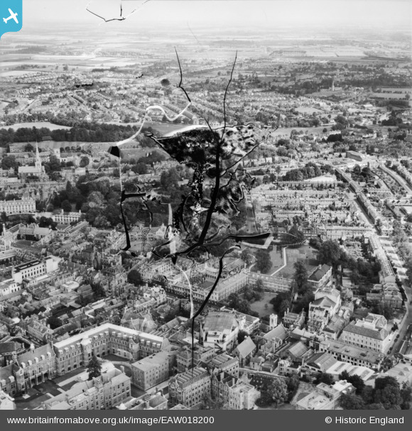
EAW018200 ENGLAND (1948). Emmanuel College and environs, Cambridge, from the south-west, 1948. This image has been produced from a damaged negative.
© Copyright OpenStreetMap contributors and licensed by the OpenStreetMap Foundation. 2026. Cartography is licensed as CC BY-SA.
Nearby Images (16)
EAW018200

EAW018199

EAW018198

EAW018201

EAW018197

EAW018196

EAW018195

EPW009780

EPW000039

EPW000043

EPW025464

EAW018202

EPW009773

EPW009774

EPW009785

EPW025475

Details
| Title | [EAW018200] Emmanuel College and environs, Cambridge, from the south-west, 1948. This image has been produced from a damaged negative. |
| Reference | EAW018200 |
| Date | 18-August-1948 |
| Link | |
| Place name | CAMBRIDGE |
| Parish | |
| District | |
| Country | ENGLAND |
| Easting / Northing | 545237, 258269 |
| Longitude / Latitude | 0.12555444286169, 52.203084630286 |
| National Grid Reference | TL452583 |
Pins

Peter Smith |
Friday 15th of March 2024 11:09:06 AM | |
|
Peter Smith |
Friday 15th of March 2024 11:08:32 AM | |
|
Peter Smith |
Friday 15th of March 2024 11:08:11 AM | |
|
Peter Smith |
Friday 15th of March 2024 11:07:55 AM | |
|
Peter Smith |
Friday 15th of March 2024 11:07:31 AM | |
|
Peter Smith |
Friday 15th of March 2024 11:07:18 AM | |
|
Peter Smith |
Friday 15th of March 2024 11:06:41 AM |