
EAW018141 ENGLAND (1948). The Priory, St Mary's Church and the town, Wareham, 1948. This image was marked by Aerofilms Ltd for photo editing.

© Copyright OpenStreetMap contributors and licensed by the OpenStreetMap Foundation. 2026. Cartography is licensed as CC BY-SA.
Nearby Images (9)
EAW018141

EAW018159

EPW013661

EPW013663

EAW018142

EPW032294

EAW018140

EPW032290

EPW013662

Details
| Title | [EAW018141] The Priory, St Mary's Church and the town, Wareham, 1948. This image was marked by Aerofilms Ltd for photo editing. |
| Reference | EAW018141 |
| Date | 16-August-1948 |
| Link | |
| Place name | WAREHAM |
| Parish | WAREHAM TOWN |
| District | |
| Country | ENGLAND |
| Easting / Northing | 392447, 87242 |
| Longitude / Latitude | -2.1069253483401, 50.684206048603 |
| National Grid Reference | SY924872 |
Pins


User Comment Contributions

Lady St. Mary Church, Wareham, 06/04/2015 |

Class31 |
Wednesday 8th of April 2015 05:15:37 PM |
Wareham, 06/04/2015 |
Class31 |
Wednesday 8th of April 2015 05:13:17 PM |
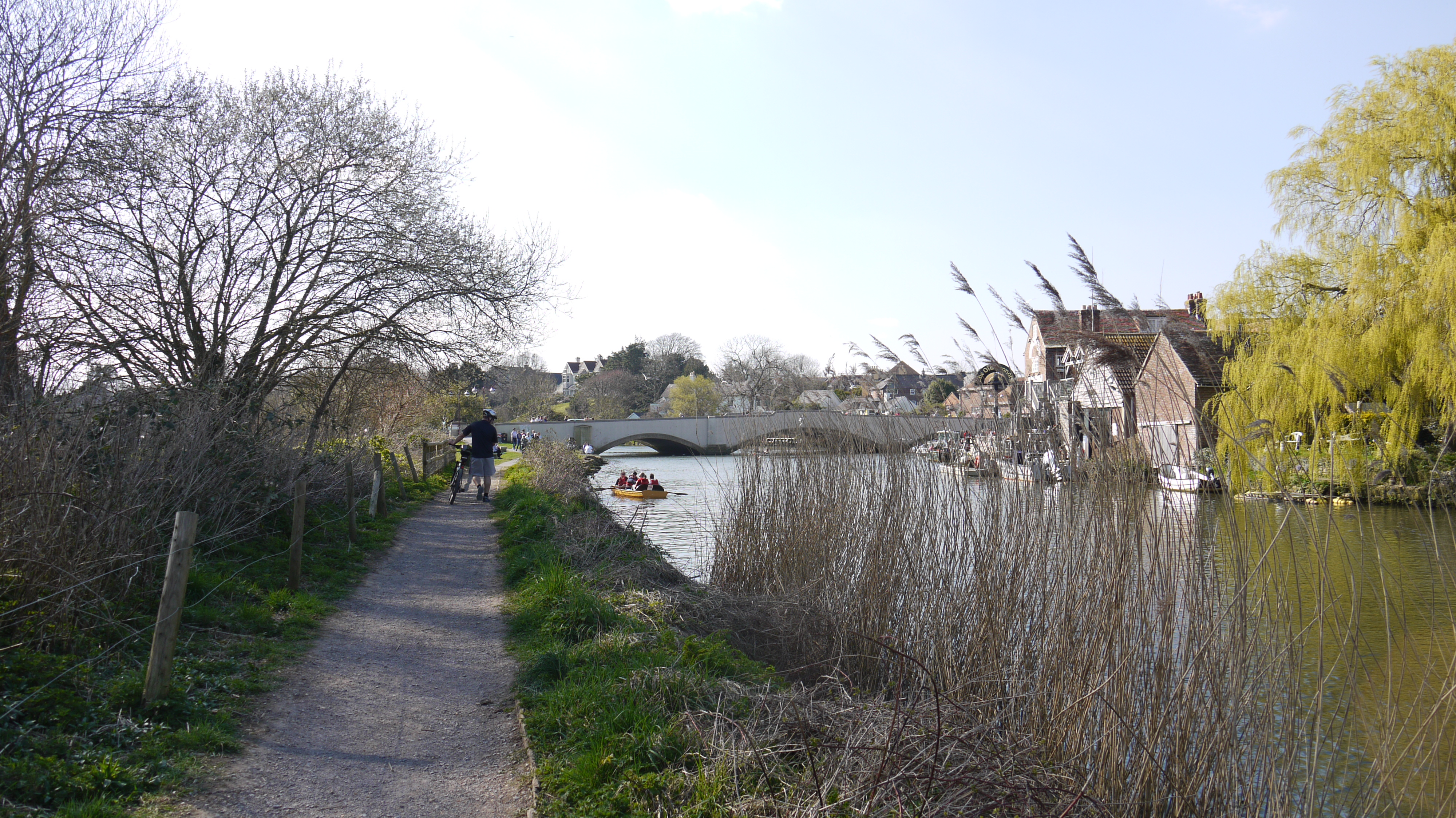
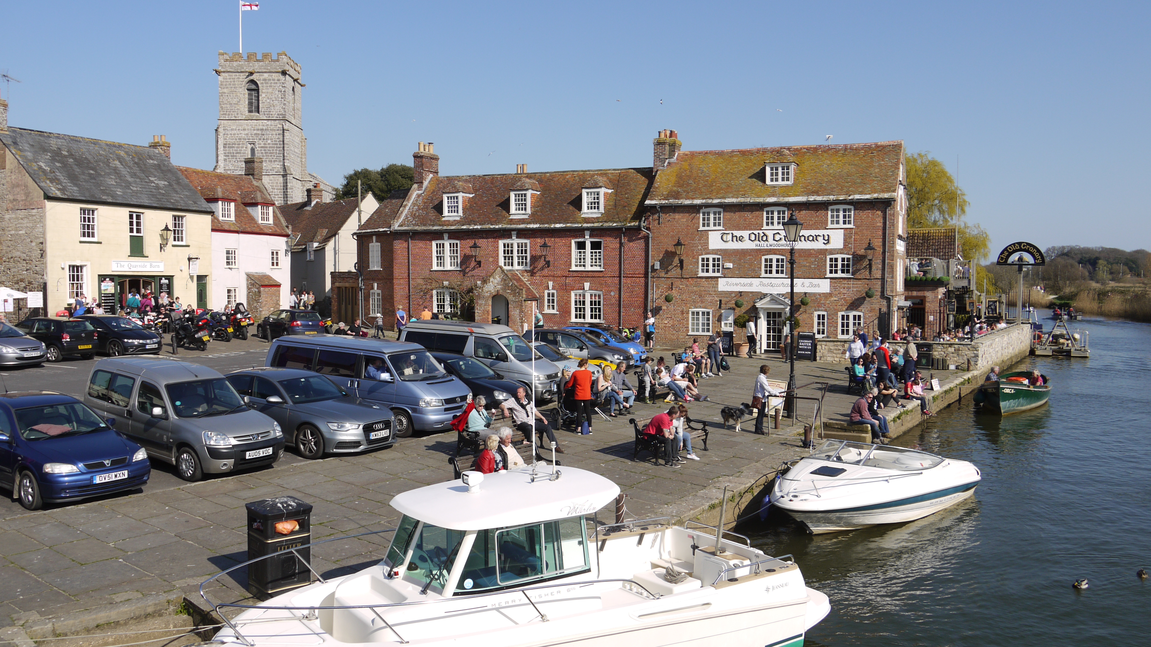
The Quay, Wareham, 06/04/2015 |
Class31 |
Wednesday 8th of April 2015 05:12:28 PM |
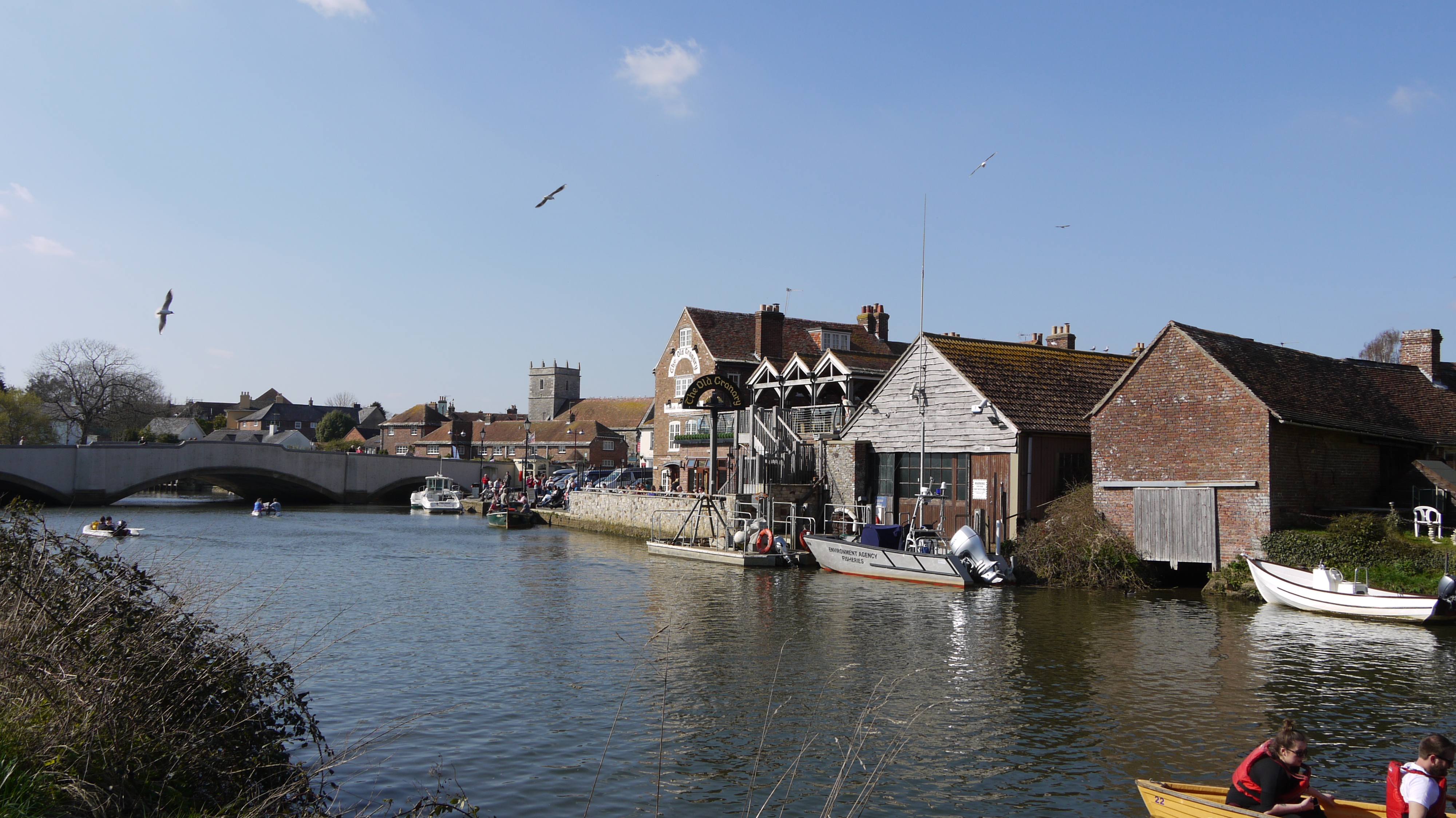
The Quay, Wareham, 06/04/2015 |
Class31 |
Wednesday 8th of April 2015 05:11:53 PM |
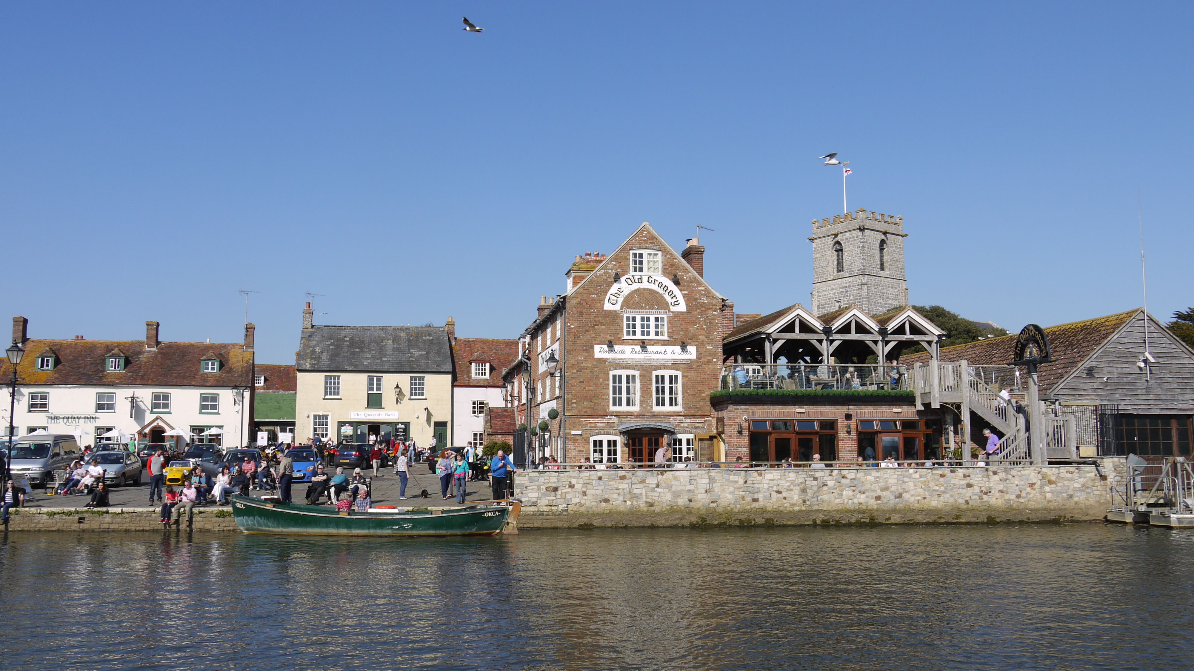
The Quay, Wareham, 06/04/2015 |
Class31 |
Wednesday 8th of April 2015 05:11:18 PM |
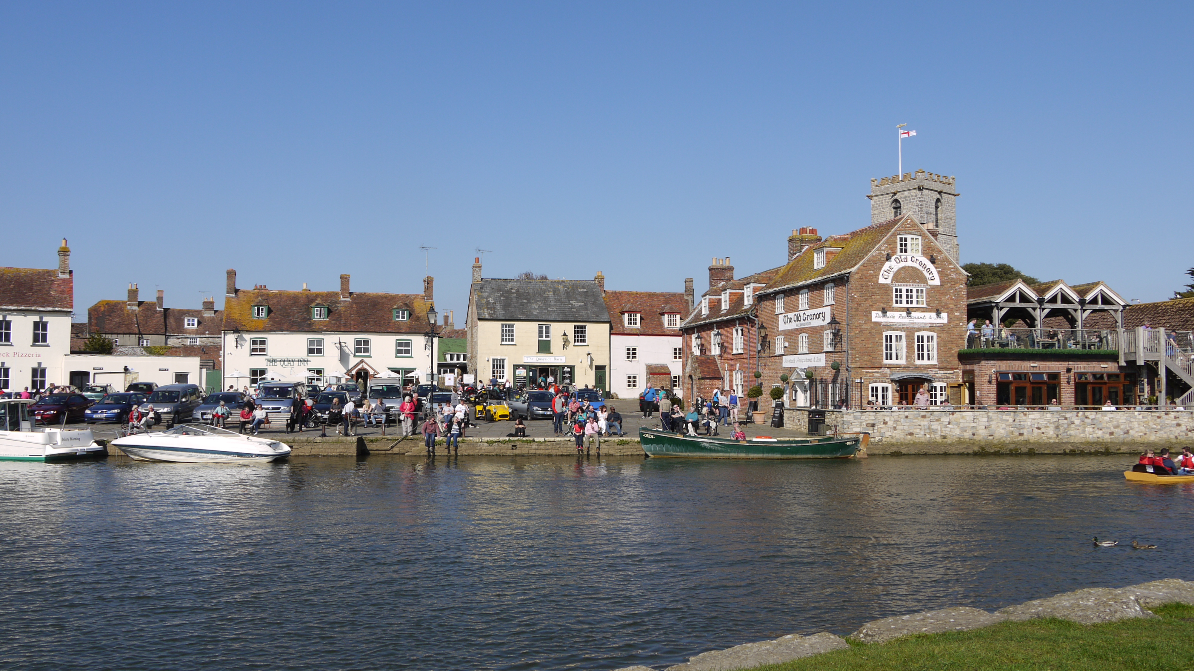
The Quay, Wareham, 06/04/2015 |
Class31 |
Wednesday 8th of April 2015 05:10:44 PM |