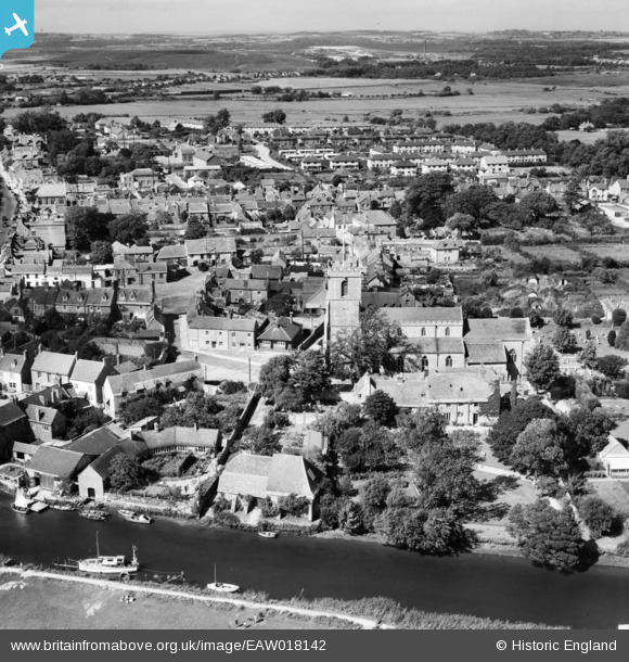
EAW018142 ENGLAND (1948). The Priory, St Mary's Church and the town, Wareham, 1948
© Copyright OpenStreetMap contributors and licensed by the OpenStreetMap Foundation. 2026. Cartography is licensed as CC BY-SA.
Nearby Images (7)
EAW018142

EAW018159

EPW013661

EAW018141

EPW013663

EPW032294

EAW018140

Details
| Title | [EAW018142] The Priory, St Mary's Church and the town, Wareham, 1948 |
| Reference | EAW018142 |
| Date | 16-August-1948 |
| Link | |
| Place name | WAREHAM |
| Parish | WAREHAM TOWN |
| District | |
| Country | ENGLAND |
| Easting / Northing | 392468, 87143 |
| Longitude / Latitude | -2.1066260409222, 50.68331593971 |
| National Grid Reference | SY925871 |