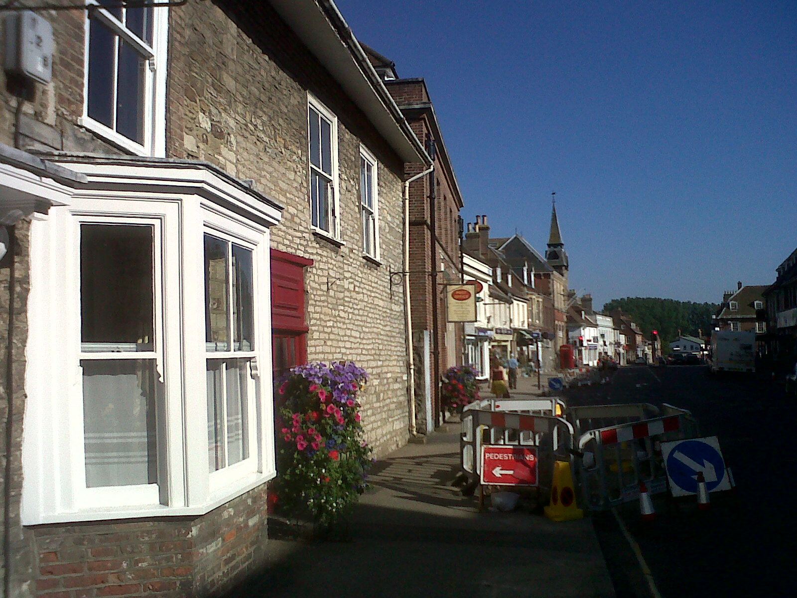
EPW032290 ENGLAND (1930). South Street, St Mary's Church and South Bridge, Wareham, 1930

© Copyright OpenStreetMap contributors and licensed by the OpenStreetMap Foundation. 2026. Cartography is licensed as CC BY-SA.
Nearby Images (3)
EPW032290

EPW013662

EAW018141

Details
| Title | [EPW032290] South Street, St Mary's Church and South Bridge, Wareham, 1930 |
| Reference | EPW032290 |
| Date | June-1930 |
| Link | |
| Place name | WAREHAM |
| Parish | WAREHAM TOWN |
| District | |
| Country | ENGLAND |
| Easting / Northing | 392346, 87443 |
| Longitude / Latitude | -2.1083593330754, 50.686012471455 |
| National Grid Reference | SY923874 |
Pins

Class31 |
Wednesday 8th of April 2015 04:40:44 PM | |
|
Class31 |
Wednesday 8th of April 2015 04:38:36 PM | |

micky |
Monday 7th of January 2013 04:10:53 PM | |
|
micky |
Friday 4th of January 2013 01:39:45 PM | |
|
micky |
Wednesday 2nd of January 2013 07:44:44 AM | |
|
micky |
Wednesday 2nd of January 2013 07:43:32 AM | |
|
Class31 |
Monday 5th of November 2012 02:49:02 PM | |
|
Class31 |
Monday 5th of November 2012 02:47:42 PM | |
|
Class31 |
Monday 5th of November 2012 02:47:12 PM | |
|
Class31 |
Monday 5th of November 2012 02:46:14 PM | |
|
Class31 |
Monday 5th of November 2012 02:45:47 PM | |
|
Class31 |
Monday 5th of November 2012 02:45:27 PM |