
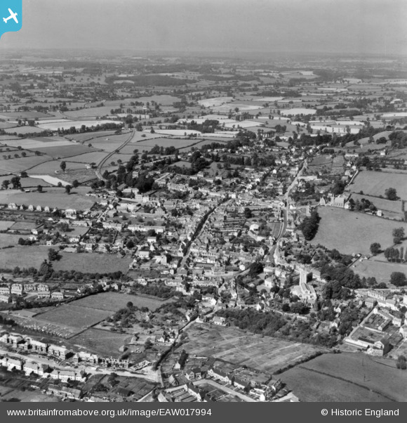
EAW017994 ENGLAND (1948). The town, Wooton-under-Edge, from the east, 1948. This image has been produced from a print.
© Copyright OpenStreetMap contributors and licensed by the OpenStreetMap Foundation. 2025. Cartography is licensed as CC BY-SA.
Nearby Images (6)
EAW017994

EAW017993

EPW023866

EPW023865

EPW023870

EPW023867

Details
| Title | [EAW017994] The town, Wooton-under-Edge, from the east, 1948. This image has been produced from a print. |
| Reference | EAW017994 |
| Date | 10-August-1948 |
| Link | |
| Place name | WOTTON-UNDER-EDGE |
| Parish | WOTTON-UNDER-EDGE |
| District | |
| Country | ENGLAND |
| Easting / Northing | 375887, 193301 |
| Longitude / Latitude | -2.3484694751393, 51.637529710019 |
| National Grid Reference | ST759933 |
Pins
Be the first to add a comment to this image!