
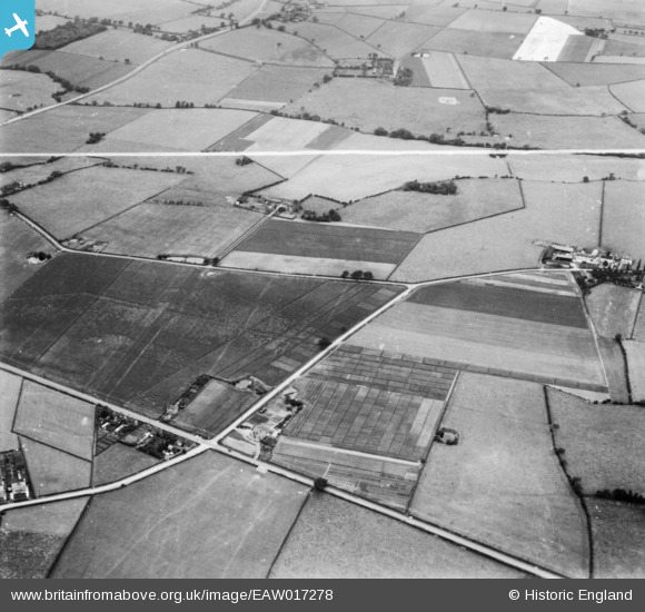
EAW017278 ENGLAND (1948). Gartons Ltd Plant Breeding Station by The Homestead, Little Leigh, 1948. This image has been produced from a print marked by Aerofilms Ltd for photo editing.
© Copyright OpenStreetMap contributors and licensed by the OpenStreetMap Foundation. 2026. Cartography is licensed as CC BY-SA.
Nearby Images (33)
EAW017278

EAW017280

EAW030042

EAW017281

EAW017277

EAW016764

EPW032588

EAW016760

EAW016765

EAW016763

EAW016762

EAW030043

EPW032592

EPW057555

EAW001900

EAW030041

EAW016759

EPW057560

EAW001903

EPW057549

EPW057552

EPW057553

EAW001899

EAW030021

EAW030023

EPW057551

EAW001901

EAW017276

EAW030018

EAW030022

EAW001904

EAW017279

EPW032584

Details
| Title | [EAW017278] Gartons Ltd Plant Breeding Station by The Homestead, Little Leigh, 1948. This image has been produced from a print marked by Aerofilms Ltd for photo editing. |
| Reference | EAW017278 |
| Date | 19-July-1948 |
| Link | |
| Place name | LITTLE LEIGH |
| Parish | LITTLE LEIGH |
| District | |
| Country | ENGLAND |
| Easting / Northing | 361273, 377309 |
| Longitude / Latitude | -2.5810376233053, 53.29105326931 |
| National Grid Reference | SJ613773 |
Pins
Be the first to add a comment to this image!