
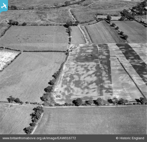
EAW016772 ENGLAND (1948). Fields between Northern Moor and the River Mersey, Northenden, 1948
© Copyright OpenStreetMap contributors and licensed by the OpenStreetMap Foundation. 2026. Cartography is licensed as CC BY-SA.
Nearby Images (14)
EAW016772

EAW016775

EAW016770

EAW016491

EAW016767

EAW016493

EAW016490

EAW016492

EAW016766

EAW016771

EAW016769

EAW016773

EAW016495

EAW016494

Details
| Title | [EAW016772] Fields between Northern Moor and the River Mersey, Northenden, 1948 |
| Reference | EAW016772 |
| Date | 23-June-1948 |
| Link | |
| Place name | NORTHENDEN |
| Parish | |
| District | |
| Country | ENGLAND |
| Easting / Northing | 381995, 391257 |
| Longitude / Latitude | -2.270936618773, 53.417549244028 |
| National Grid Reference | SJ820913 |
Pins
Be the first to add a comment to this image!