
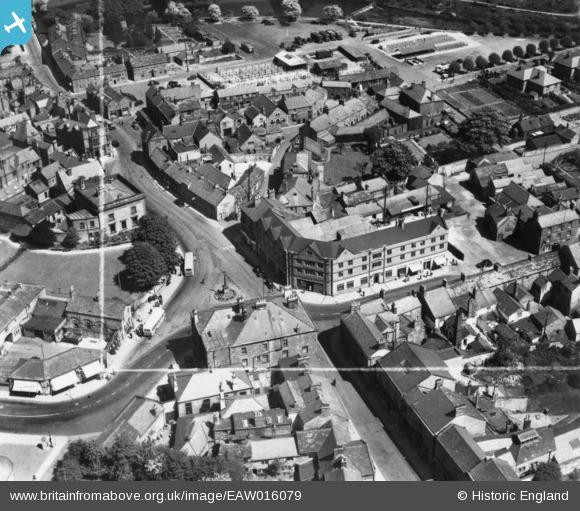
EAW016079 ENGLAND (1948). Rutland Square, Bakewell, 1948. This image has been produced from a print marked by Aerofilms Ltd for photo editing.
© Copyright OpenStreetMap contributors and licensed by the OpenStreetMap Foundation. 2026. Cartography is licensed as CC BY-SA.
Nearby Images (12)
EAW016079

EAW016081

EAW016082

EPW018967

EPW018962

EAW016083

EPW018963

EAW016084

EAW016080

EPW018965

EPW018966

EPW018964

Details
| Title | [EAW016079] Rutland Square, Bakewell, 1948. This image has been produced from a print marked by Aerofilms Ltd for photo editing. |
| Reference | EAW016079 |
| Date | 21-May-1948 |
| Link | |
| Place name | BAKEWELL |
| Parish | BAKEWELL |
| District | |
| Country | ENGLAND |
| Easting / Northing | 421767, 368476 |
| Longitude / Latitude | -1.6740183316978, 53.212615460294 |
| National Grid Reference | SK218685 |
Pins
Be the first to add a comment to this image!