
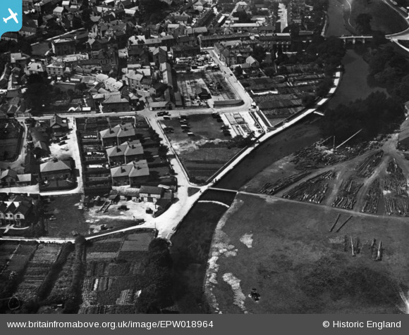
EPW018964 ENGLAND (1927). Granby Croft and environs, Bakewell, 1927. This image has been produced from a print.
© Copyright OpenStreetMap contributors and licensed by the OpenStreetMap Foundation. 2026. Cartography is licensed as CC BY-SA.
Nearby Images (9)
EPW018964

EAW016080

EAW016084

EAW016083

EAW016082

EAW016081

EPW018967

EAW016079

EPW018962

Details
| Title | [EPW018964] Granby Croft and environs, Bakewell, 1927. This image has been produced from a print. |
| Reference | EPW018964 |
| Date | July-1927 |
| Link | |
| Place name | BAKEWELL |
| Parish | BAKEWELL |
| District | |
| Country | ENGLAND |
| Easting / Northing | 421967, 368429 |
| Longitude / Latitude | -1.6710264305613, 53.21218471212 |
| National Grid Reference | SK220684 |
Pins
Be the first to add a comment to this image!