
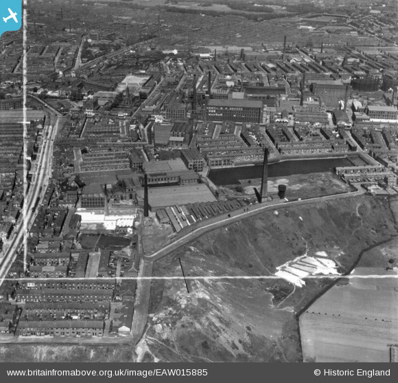
EAW015885 ENGLAND (1948). Fishwick Mills and adjacent cotton mills and terraced housing, Fishwick, 1948. This image has been produced from a print marked by Aerofilms Ltd for photo editing.
© Copyright OpenStreetMap contributors and licensed by the OpenStreetMap Foundation. 2026. Cartography is licensed as CC BY-SA.
Nearby Images (8)
EAW015885

EAW015883

EAW015881

EAW015882

EAW015887

EAW015884

EAW015886

EPW013072

Details
| Title | [EAW015885] Fishwick Mills and adjacent cotton mills and terraced housing, Fishwick, 1948. This image has been produced from a print marked by Aerofilms Ltd for photo editing. |
| Reference | EAW015885 |
| Date | 20-May-1948 |
| Link | |
| Place name | FISHWICK |
| Parish | |
| District | |
| Country | ENGLAND |
| Easting / Northing | 355109, 429444 |
| Longitude / Latitude | -2.6809876415843, 53.75919779782 |
| National Grid Reference | SD551294 |
Pins
Be the first to add a comment to this image!