
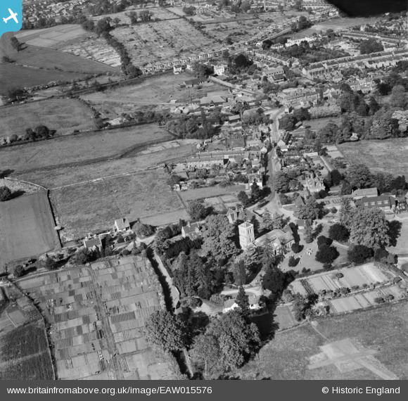
EAW015576 ENGLAND (1948). St Michael's Church and the surrounding residential area, St Albans, 1948
© Copyright OpenStreetMap contributors and licensed by the OpenStreetMap Foundation. 2026. Cartography is licensed as CC BY-SA.
Nearby Images (14)
EAW015576

EAW015577

EAW053207

EAW048029

EAW048028

EAW053206

EAW048759

EAW011296

EAW048758

EAW011297

EAW053204

EAW011295

EAW011298

EAW053205

Details
| Title | [EAW015576] St Michael's Church and the surrounding residential area, St Albans, 1948 |
| Reference | EAW015576 |
| Date | 13-May-1948 |
| Link | |
| Place name | ST ALBANS |
| Parish | |
| District | |
| Country | ENGLAND |
| Easting / Northing | 513640, 207406 |
| Longitude / Latitude | -0.35348160777125, 51.753349146569 |
| National Grid Reference | TL136074 |
Pins
Be the first to add a comment to this image!