
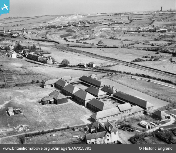
EAW015391 ENGLAND (1948). Kingsmead Secondary School and environs, Hednesford, from the north-west, 1948
© Copyright OpenStreetMap contributors and licensed by the OpenStreetMap Foundation. 2026. Cartography is licensed as CC BY-SA.
Nearby Images (8)
EAW015391

EAW015389

EAW015388
 and environs, Hednesford, 1948. This image has been produced from a damaged negative.")
EAW015390

EAW015386

EAW015392

EAW015387

EAW015385

Details
| Title | [EAW015391] Kingsmead Secondary School and environs, Hednesford, from the north-west, 1948 |
| Reference | EAW015391 |
| Date | 6-May-1948 |
| Link | |
| Place name | HEDNESFORD |
| Parish | HEDNESFORD |
| District | |
| Country | ENGLAND |
| Easting / Northing | 400416, 311631 |
| Longitude / Latitude | -1.9938429668462, 52.702008532773 |
| National Grid Reference | SK004116 |
Pins

areed |
Wednesday 23rd of December 2020 11:58:27 AM | |
|
areed |
Wednesday 23rd of December 2020 11:57:19 AM | |
|
areed |
Wednesday 23rd of December 2020 11:55:13 AM | |
|
areed |
Wednesday 23rd of December 2020 11:54:00 AM | |
|
Gavin Wood |
Friday 22nd of May 2020 11:02:50 PM | |
|
areed |
Thursday 23rd of April 2020 10:34:37 PM | |
|
areed |
Thursday 23rd of April 2020 10:31:24 PM | |
|
Paul |
Friday 27th of September 2019 04:11:35 PM | |
Not sure if you're able to change pins, but I believe the spot of this pin is on the Coppice Colliery near 5 ways. Cannock Chase Colliery No.8 is further to the left obscured by the open cast workings. |
areed |
Thursday 23rd of April 2020 10:29:46 PM |
|
Paul |
Friday 27th of September 2019 04:09:31 PM | |
|
Paul |
Friday 27th of September 2019 04:05:46 PM | |
|
Paul |
Friday 27th of September 2019 04:05:26 PM |