
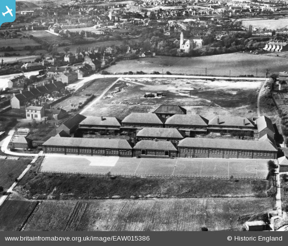
EAW015386 ENGLAND (1948). Kingsmead Secondary School and environs, Hednesford, 1948. This image has been produced from a print.
© Copyright OpenStreetMap contributors and licensed by the OpenStreetMap Foundation. 2026. Cartography is licensed as CC BY-SA.
Nearby Images (8)
EAW015386

EAW015392

EAW015388
 and environs, Hednesford, 1948. This image has been produced from a damaged negative.")
EAW015385

EAW015391

EAW015390

EAW015389

EAW015387

Details
| Title | [EAW015386] Kingsmead Secondary School and environs, Hednesford, 1948. This image has been produced from a print. |
| Reference | EAW015386 |
| Date | 6-May-1948 |
| Link | |
| Place name | HEDNESFORD |
| Parish | HEDNESFORD |
| District | |
| Country | ENGLAND |
| Easting / Northing | 400395, 311658 |
| Longitude / Latitude | -1.9941537461776, 52.702251296584 |
| National Grid Reference | SK004117 |
Pins

Helen |
Tuesday 3rd of March 2026 12:40:29 PM | |
|
Helen |
Tuesday 3rd of March 2026 12:39:27 PM | |
|
Helen |
Tuesday 3rd of March 2026 12:37:21 PM | |
|
Helen |
Tuesday 3rd of March 2026 12:36:32 PM | |
|
Helen |
Tuesday 3rd of March 2026 12:35:33 PM |