
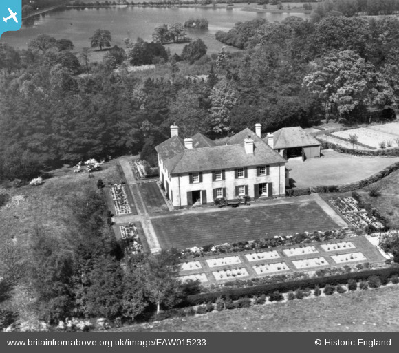
EAW015233 ENGLAND (1948). High Enton, Great Enton, 1948. This image has been produced from a print.
© Copyright OpenStreetMap contributors and licensed by the OpenStreetMap Foundation. 2026. Cartography is licensed as CC BY-SA.
Nearby Images (4)
EAW015233

EAW015232

EAW015230

EAW015231

Details
| Title | [EAW015233] High Enton, Great Enton, 1948. This image has been produced from a print. |
| Reference | EAW015233 |
| Date | 6-May-1948 |
| Link | |
| Place name | GREAT ENTON |
| Parish | WITLEY |
| District | |
| Country | ENGLAND |
| Easting / Northing | 495315, 140135 |
| Longitude / Latitude | -0.63703255234172, 51.152001930191 |
| National Grid Reference | SU953401 |
Pins
Be the first to add a comment to this image!