
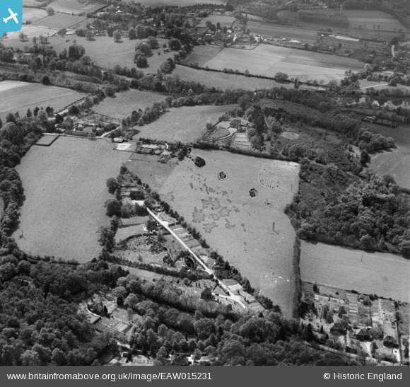
EAW015231 ENGLAND (1948). Fields around Winkford Hill, Enton Leys and High Enton, Great Enton, 1948. This image has been produced from a damaged negative.
© Copyright OpenStreetMap contributors and licensed by the OpenStreetMap Foundation. 2026. Cartography is licensed as CC BY-SA.
Nearby Images (4)
EAW015231

EAW015233

EAW015230

EAW015232

Details
| Title | [EAW015231] Fields around Winkford Hill, Enton Leys and High Enton, Great Enton, 1948. This image has been produced from a damaged negative. |
| Reference | EAW015231 |
| Date | 6-May-1948 |
| Link | |
| Place name | GREAT ENTON |
| Parish | WITLEY |
| District | |
| Country | ENGLAND |
| Easting / Northing | 495538, 140177 |
| Longitude / Latitude | -0.63383355771904, 51.152342336396 |
| National Grid Reference | SU955402 |
Pins
Be the first to add a comment to this image!