
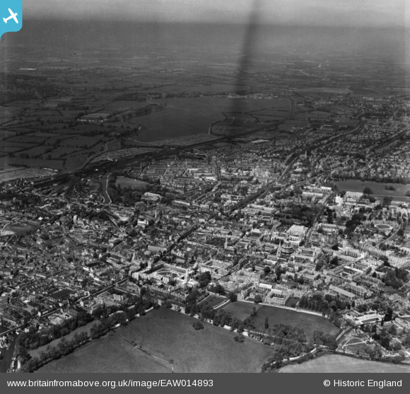
EAW014893 ENGLAND (1948). The city, Oxford, from the south-east, 1948. This image has been produced from a print.
© Copyright OpenStreetMap contributors and licensed by the OpenStreetMap Foundation. 2026. Cartography is licensed as CC BY-SA.
Nearby Images (37)
EAW014893

EAW045713

EAW003127

EPW000832

EAW045712

EAW024230

EAW049087

EAW031682

EAW018724

EPW000826

EPW024627

EAW024229

EAW014891

EPW052774

EAW018723

EPW000849

EPW000843

EAW049086

EAW013599

EPW017839

EAW018727

EAW018725

EAW047925

EAW049085

EPW022527

EPW038408

EPW052771

EAW045705

EPW000838

EPW052775

EPW022524

EPW000847

EAW045706

EPW022530

EPW000829

EAW045709

EPW000848

Details
| Title | [EAW014893] The city, Oxford, from the south-east, 1948. This image has been produced from a print. |
| Reference | EAW014893 |
| Date | 26-April-1948 |
| Link | |
| Place name | OXFORD |
| Parish | |
| District | |
| Country | ENGLAND |
| Easting / Northing | 451533, 206060 |
| Longitude / Latitude | -1.2534111168546, 51.750407283237 |
| National Grid Reference | SP515061 |
Pins
Be the first to add a comment to this image!
User Comment Contributions
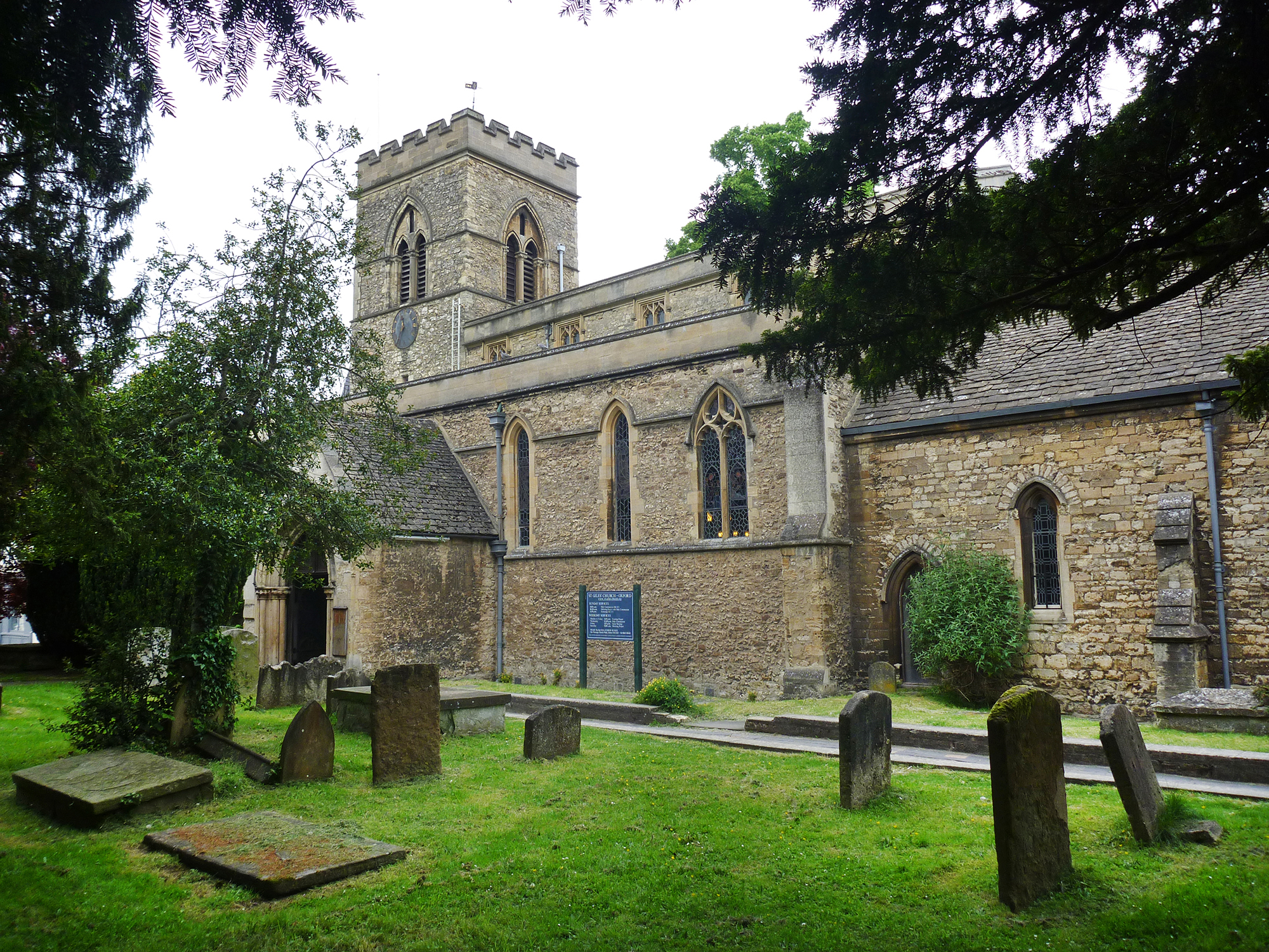
Saint Giles Church Oxford |

Alan McFaden |
Sunday 16th of November 2014 09:25:44 AM |

Pittrivers Museum |
Alan McFaden |
Sunday 16th of November 2014 09:25:06 AM |
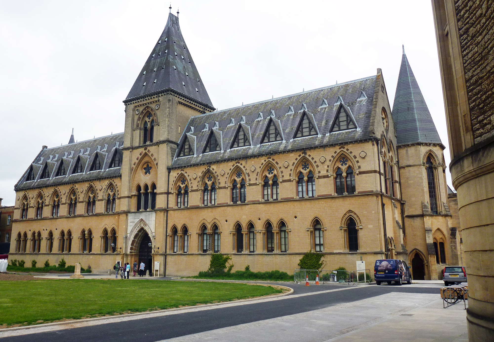
Oxford Pittrivers Museum |
Alan McFaden |
Sunday 16th of November 2014 09:24:41 AM |

Oxford Bridge of Sighs |
Alan McFaden |
Sunday 16th of November 2014 09:24:15 AM |
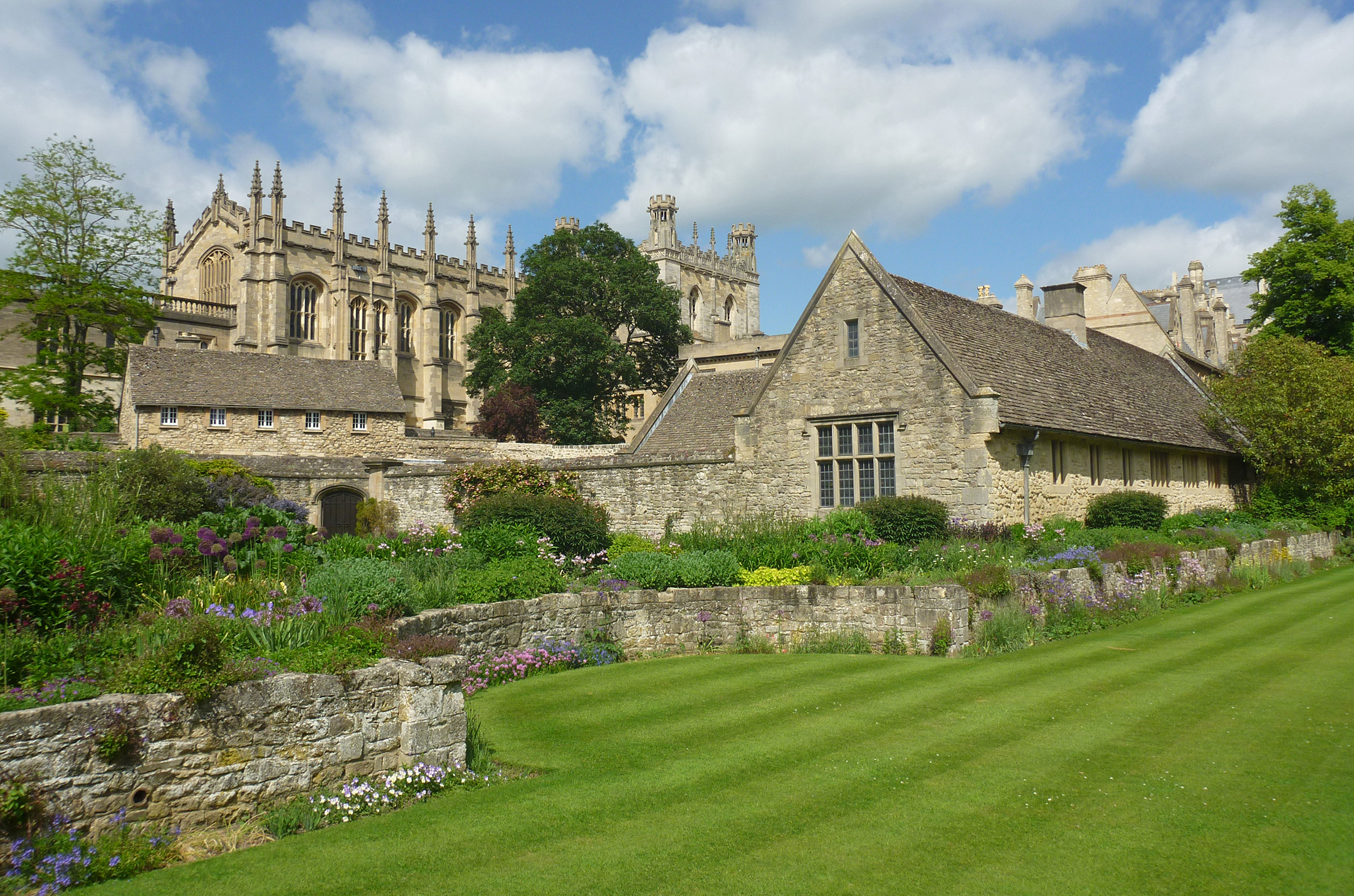
Oxford Christ Church Memorial Garden |
Alan McFaden |
Sunday 16th of November 2014 09:23:41 AM |
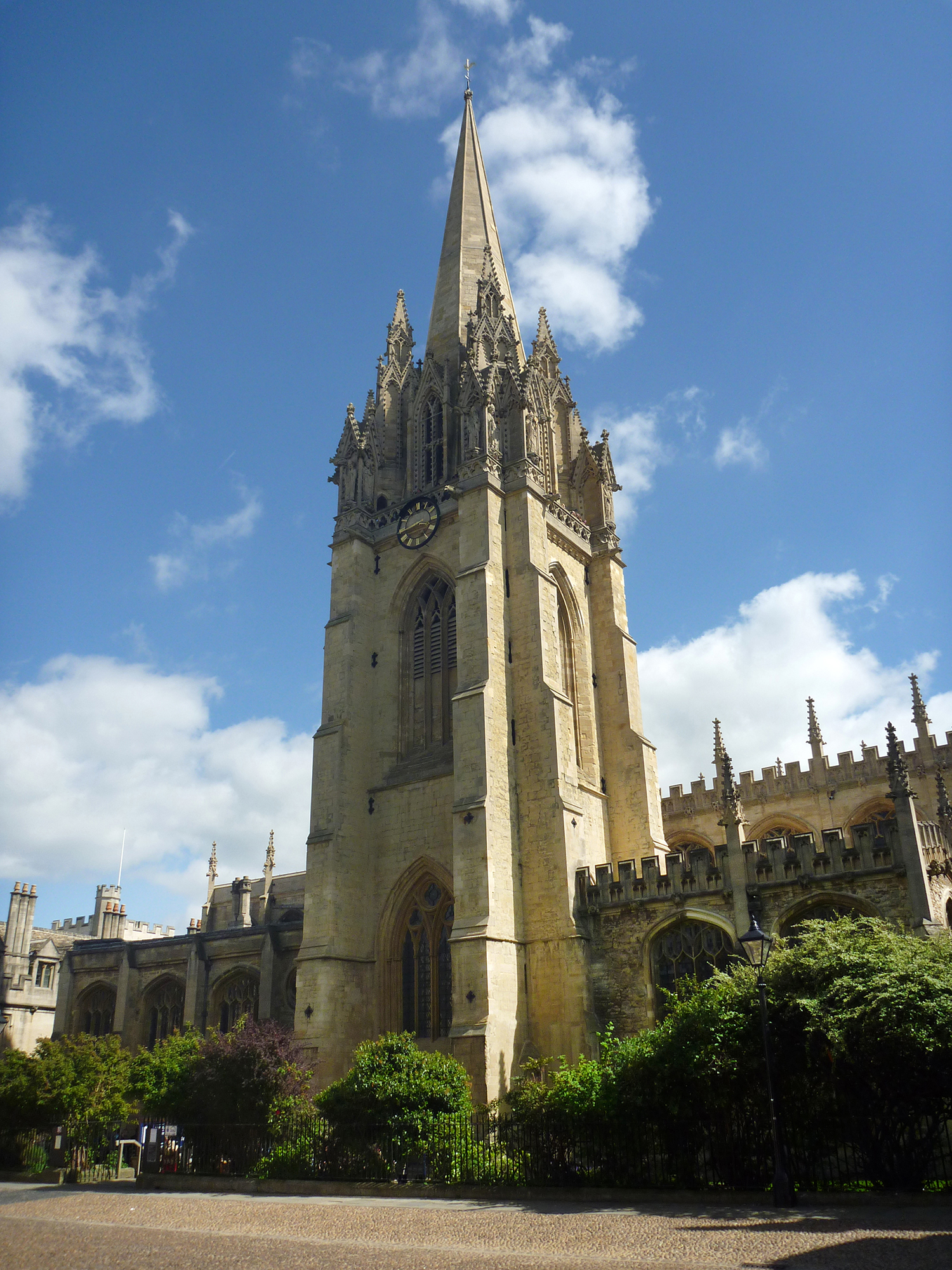
Oxford Saint Mary's Church |
Alan McFaden |
Sunday 16th of November 2014 09:22:52 AM |
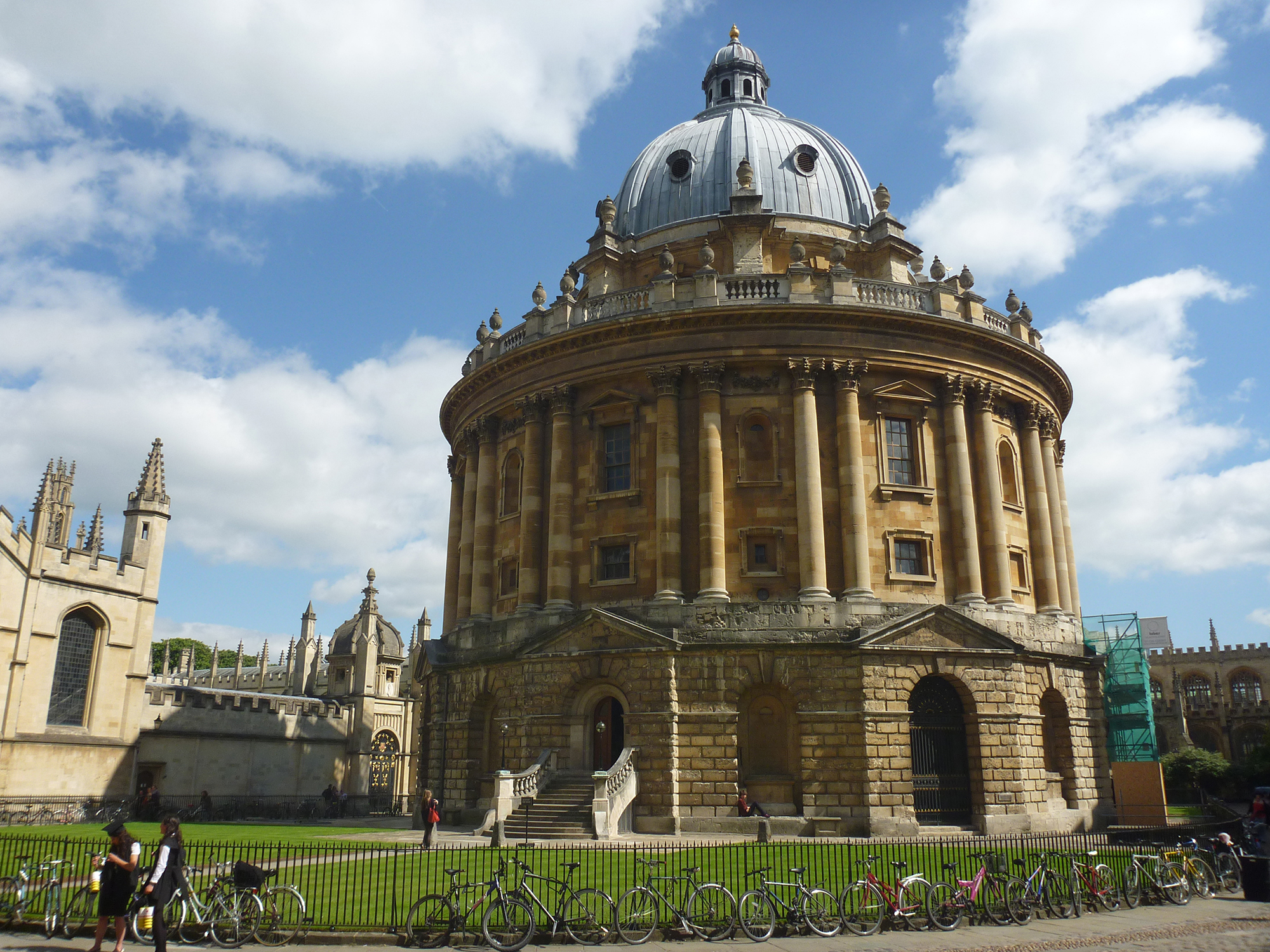
Oxford Radcliffe Camera |
Alan McFaden |
Sunday 16th of November 2014 09:22:27 AM |