
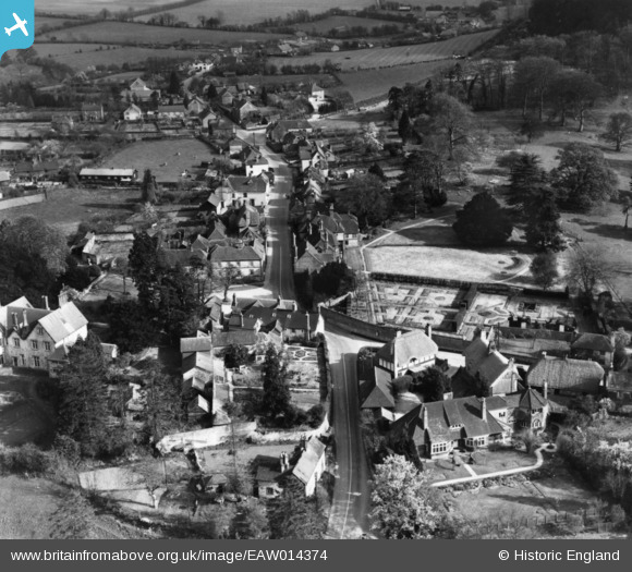
EAW014374 ENGLAND (1948). The village, Selborne, 1948. This image has been produced from a print.
© Copyright OpenStreetMap contributors and licensed by the OpenStreetMap Foundation. 2024. Cartography is licensed as CC BY-SA.
Nearby Images (7)
EAW014374

EAW040901

EAW014373

EAW014372

EAW033435

EAW033434

EAW033433

Details
| Title | [EAW014374] The village, Selborne, 1948. This image has been produced from a print. |
| Reference | EAW014374 |
| Date | 13-April-1948 |
| Link | |
| Place name | SELBORNE |
| Parish | SELBORNE |
| District | |
| Country | ENGLAND |
| Easting / Northing | 474061, 133700 |
| Longitude / Latitude | -0.94221543093014, 51.097287583811 |
| National Grid Reference | SU741337 |
Pins
Be the first to add a comment to this image!