
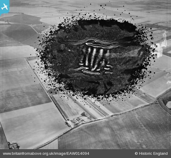
EAW014094 ENGLAND (1948). Weston Marsh Farm, Weston Marsh, 1948. This image has been produced from a damaged negative.
© Copyright OpenStreetMap contributors and licensed by the OpenStreetMap Foundation. 2026. Cartography is licensed as CC BY-SA.
Nearby Images (7)
EAW014094

EAW014095

EAW014093

EAW014096

EAW014097

EAW014098

EAW014101

Details
| Title | [EAW014094] Weston Marsh Farm, Weston Marsh, 1948. This image has been produced from a damaged negative. |
| Reference | EAW014094 |
| Date | 25-March-1948 |
| Link | |
| Place name | WESTON MARSH |
| Parish | WESTON |
| District | |
| Country | ENGLAND |
| Easting / Northing | 529411, 327457 |
| Longitude / Latitude | -0.078978545568929, 52.828749027813 |
| National Grid Reference | TF294275 |
Pins
Be the first to add a comment to this image!