
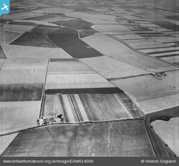
EAW014096 ENGLAND (1948). Weston Marsh Farm and the surrounding countryside, Weston Marsh, 1948
© Copyright OpenStreetMap contributors and licensed by the OpenStreetMap Foundation. 2026. Cartography is licensed as CC BY-SA.
Nearby Images (5)
EAW014096

EAW014095

EAW014093

EAW014094

EAW014097

Details
| Title | [EAW014096] Weston Marsh Farm and the surrounding countryside, Weston Marsh, 1948 |
| Reference | EAW014096 |
| Date | 25-March-1948 |
| Link | |
| Place name | WESTON MARSH |
| Parish | WESTON |
| District | |
| Country | ENGLAND |
| Easting / Northing | 529451, 327557 |
| Longitude / Latitude | -0.078345473364982, 52.829637962026 |
| National Grid Reference | TF295276 |
Pins
Be the first to add a comment to this image!