
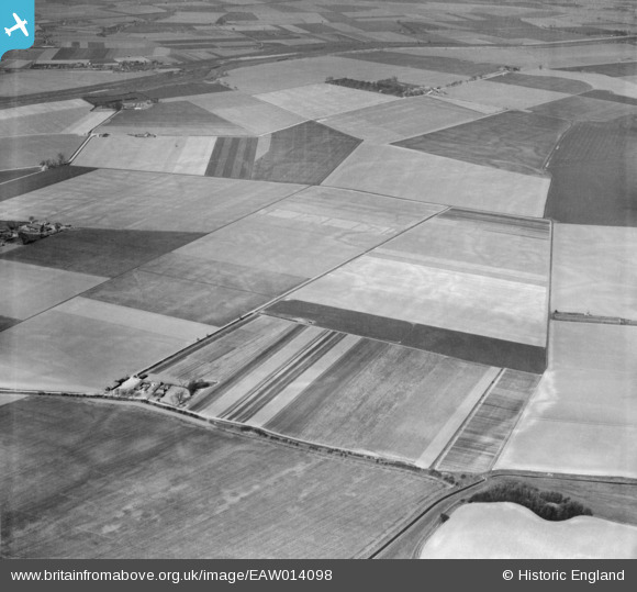
EAW014098 ENGLAND (1948). Weston Marsh Farm and the surrounding countryside, Weston Marsh, 1948
© Copyright OpenStreetMap contributors and licensed by the OpenStreetMap Foundation. 2026. Cartography is licensed as CC BY-SA.
Nearby Images (4)
EAW014098

EAW014097

EAW014093

EAW014094

Details
| Title | [EAW014098] Weston Marsh Farm and the surrounding countryside, Weston Marsh, 1948 |
| Reference | EAW014098 |
| Date | 25-March-1948 |
| Link | |
| Place name | WESTON MARSH |
| Parish | WESTON |
| District | |
| Country | ENGLAND |
| Easting / Northing | 529177, 327547 |
| Longitude / Latitude | -0.082414378113306, 52.82961386103 |
| National Grid Reference | TF292275 |
Pins

TomRobin |
Wednesday 30th of April 2014 03:16:17 PM |