
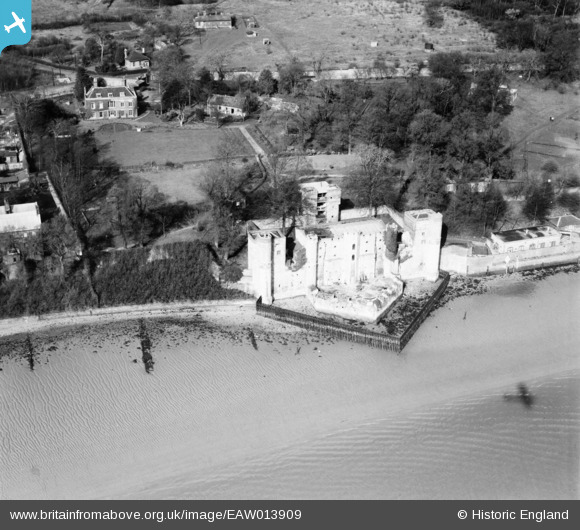
EAW013909 ENGLAND (1948). Upnor Castle, Upper Upnor, 1948
© Copyright OpenStreetMap contributors and licensed by the OpenStreetMap Foundation. 2026. Cartography is licensed as CC BY-SA.
Nearby Images (4)
EAW013909

EAW013911
, Upper Upnor, 1948. This image has been produced from a damaged negative.")
EAW013910

EAW013908

Details
| Title | [EAW013909] Upnor Castle, Upper Upnor, 1948 |
| Reference | EAW013909 |
| Date | 18-March-1948 |
| Link | |
| Place name | UPPER UPNOR |
| Parish | FRINDSBURY EXTRA |
| District | |
| Country | ENGLAND |
| Easting / Northing | 575853, 170562 |
| Longitude / Latitude | 0.5286821006542, 51.406284975185 |
| National Grid Reference | TQ759706 |
Pins

Matt Aldred edob.mattaldred.com |
Friday 8th of March 2024 07:51:00 PM | |
|
Matt Aldred edob.mattaldred.com |
Friday 8th of March 2024 07:50:47 PM |