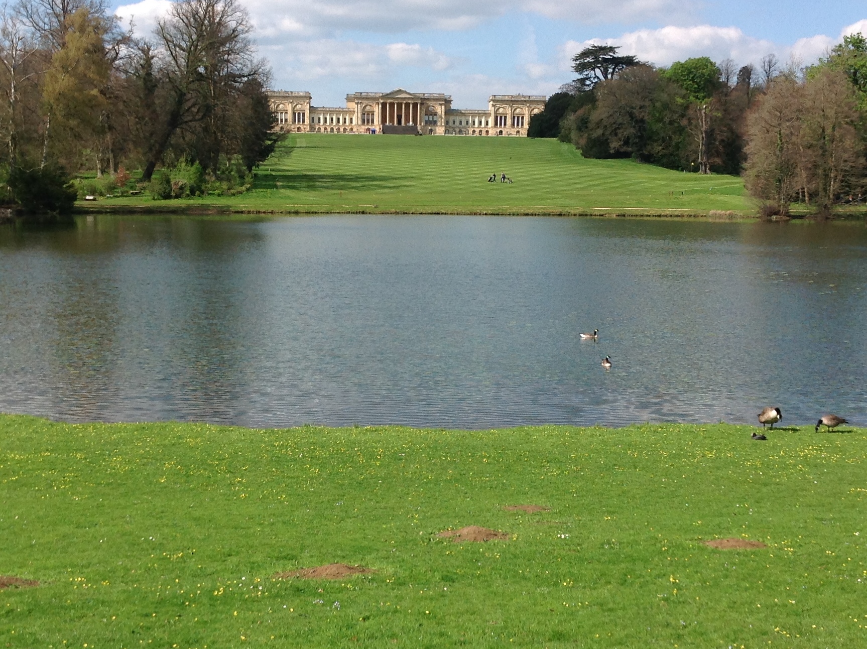
EAW013473 ENGLAND (1948). Stowe School, Stowe Park, 1948

© Copyright OpenStreetMap contributors and licensed by the OpenStreetMap Foundation. 2026. Cartography is licensed as CC BY-SA.
Nearby Images (9)
EAW013473

EAW013472

EAW013470

EAW024680
 and Park, Dadford, from the south-east, 1949")
EAW024679
 and St Mary's Church, Dadford, 1949")
EAW024681
 and Park, Dadford, 1949. This image has been produced from a print.")
EAW013471

EAW024678
 and Park, Dadford, from the north-west, 1949")
EAW024682
 and Park, Dadford, from the south, 1949")
Details
| Title | [EAW013473] Stowe School, Stowe Park, 1948 |
| Reference | EAW013473 |
| Date | 20-February-1948 |
| Link | |
| Place name | STOWE PARK |
| Parish | STOWE |
| District | |
| Country | ENGLAND |
| Easting / Northing | 467495, 237429 |
| Longitude / Latitude | -1.016052047697, 52.030736976625 |
| National Grid Reference | SP675374 |
Pins

Matt Aldred edob.mattaldred.com |
Friday 8th of March 2024 10:16:40 AM | |
|
Matt Aldred edob.mattaldred.com |
Friday 8th of March 2024 10:16:31 AM | |

Class31 |
Monday 14th of April 2014 02:18:08 PM | |
|
Class31 |
Monday 14th of April 2014 01:50:17 PM |