
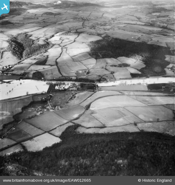
EAW012665 ENGLAND (1948). The River Severn in flood, Bildwas, 1948
© Copyright OpenStreetMap contributors and licensed by the OpenStreetMap Foundation. 2026. Cartography is licensed as CC BY-SA.
Nearby Images (6)
EAW012665

EAW009993
, Buildwas, 1947")
EAW009994
, Buildwas, 1947")
EAW009996
 and environs, Buildwas, 1947")
EAW009995
, Buildwas, 1947")
EAW012576

Details
| Title | [EAW012665] The River Severn in flood, Bildwas, 1948 |
| Reference | EAW012665 |
| Date | 14-January-1948 |
| Link | |
| Place name | BILDWAS |
| Parish | BUILDWAS |
| District | |
| Country | ENGLAND |
| Easting / Northing | 364407, 304272 |
| Longitude / Latitude | -2.5259892145742, 52.634678531052 |
| National Grid Reference | SJ644043 |
