
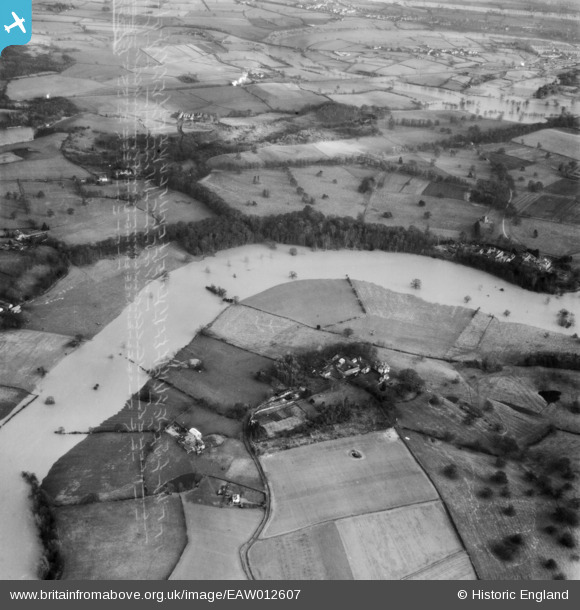
EAW012607 ENGLAND (1948). The River Severn in flood at Rossall Farm, Bicton, 1948. This image has been produced from a damaged negative.
© Copyright OpenStreetMap contributors and licensed by the OpenStreetMap Foundation. 2026. Cartography is licensed as CC BY-SA.
Nearby Images (4)
EAW012607

EAW012502

EAW012501

EAW012606

Details
| Title | [EAW012607] The River Severn in flood at Rossall Farm, Bicton, 1948. This image has been produced from a damaged negative. |
| Reference | EAW012607 |
| Date | 14-January-1948 |
| Link | |
| Place name | BICTON |
| Parish | BICTON |
| District | |
| Country | ENGLAND |
| Easting / Northing | 346980, 315370 |
| Longitude / Latitude | -2.7852890628016, 52.733024944486 |
| National Grid Reference | SJ470154 |
Pins
Be the first to add a comment to this image!