
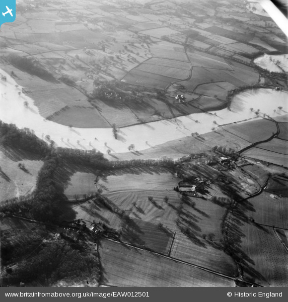
EAW012501 ENGLAND (1948). The River Severn in flood, Upper Berwick, 1948
© Copyright OpenStreetMap contributors and licensed by the OpenStreetMap Foundation. 2026. Cartography is licensed as CC BY-SA.
Nearby Images (4)
EAW012501

EAW012500

EAW012607

EAW012502

Details
| Title | [EAW012501] The River Severn in flood, Upper Berwick, 1948 |
| Reference | EAW012501 |
| Date | 14-January-1948 |
| Link | |
| Place name | UPPER BERWICK |
| Parish | PIMHILL |
| District | |
| Country | ENGLAND |
| Easting / Northing | 347045, 315602 |
| Longitude / Latitude | -2.784363869085, 52.735116943065 |
| National Grid Reference | SJ470156 |
Pins
Be the first to add a comment to this image!