
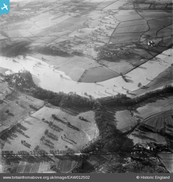
EAW012502 ENGLAND (1948). The River Severn in flood, Upper Berwick, 1948
© Copyright OpenStreetMap contributors and licensed by the OpenStreetMap Foundation. 2026. Cartography is licensed as CC BY-SA.
Nearby Images (4)
EAW012502

EAW012607

EAW012606

EAW012501

Details
| Title | [EAW012502] The River Severn in flood, Upper Berwick, 1948 |
| Reference | EAW012502 |
| Date | 14-January-1948 |
| Link | |
| Place name | UPPER BERWICK |
| Parish | PIMHILL |
| District | |
| Country | ENGLAND |
| Easting / Northing | 347160, 315356 |
| Longitude / Latitude | -2.7826210668525, 52.732916708671 |
| National Grid Reference | SJ472154 |
Pins
Be the first to add a comment to this image!