
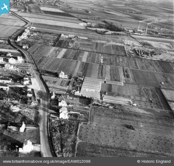
EAW012098 ENGLAND (1947). The R. Burdett Eastfield Nursery and the surrounding area, Whittlesey, 1947
© Copyright OpenStreetMap contributors and licensed by the OpenStreetMap Foundation. 2026. Cartography is licensed as CC BY-SA.
Nearby Images (14)
EAW012098

EAW012094

EAW012096

EAW012097

EAW012103

EAW012101

EAW012102

EAW012100

EAW012104

EAW012099

EAW012105

EAW012090

EAW012095

EAW012093

Details
| Title | [EAW012098] The R. Burdett Eastfield Nursery and the surrounding area, Whittlesey, 1947 |
| Reference | EAW012098 |
| Date | 5-November-1947 |
| Link | |
| Place name | WHITTLESEY |
| Parish | WHITTLESEY |
| District | |
| Country | ENGLAND |
| Easting / Northing | 527819, 297023 |
| Longitude / Latitude | -0.11441952010079, 52.555655725647 |
| National Grid Reference | TL278970 |
Pins
Be the first to add a comment to this image!