
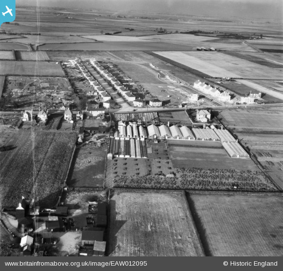
EAW012095 ENGLAND (1947). The R. Burdett Eastfield Nursery, Whittlesey, from the south, 1947. This image was marked by Aerofilms Ltd for photo editing.
© Copyright OpenStreetMap contributors and licensed by the OpenStreetMap Foundation. 2026. Cartography is licensed as CC BY-SA.
Nearby Images (16)
EAW012095

EAW012105

EAW012090

EAW012099

EAW012104

EAW012093

EAW012101

EAW012094

EAW012103

EAW012097

EAW012098

EAW012091

EAW012100

EAW012096

EAW012102

EAW012092

Details
| Title | [EAW012095] The R. Burdett Eastfield Nursery, Whittlesey, from the south, 1947. This image was marked by Aerofilms Ltd for photo editing. |
| Reference | EAW012095 |
| Date | 5-November-1947 |
| Link | |
| Place name | WHITTLESEY |
| Parish | WHITTLESEY |
| District | |
| Country | ENGLAND |
| Easting / Northing | 527717, 296910 |
| Longitude / Latitude | -0.11596684417415, 52.554664252173 |
| National Grid Reference | TL277969 |
Pins
Be the first to add a comment to this image!