
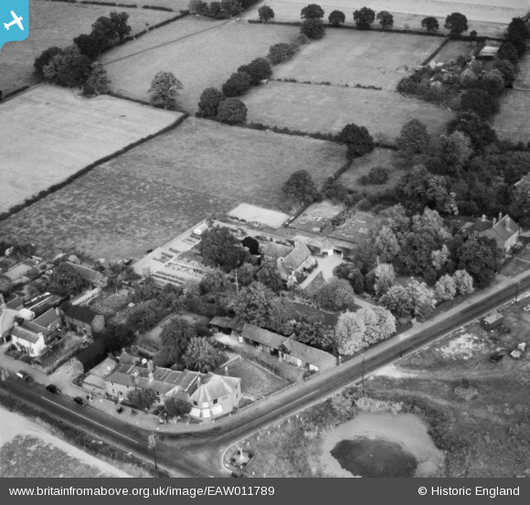
EAW011789 ENGLAND (1947). Maynards Farm, Blindley Heath, 1947
© Copyright OpenStreetMap contributors and licensed by the OpenStreetMap Foundation. 2026. Cartography is licensed as CC BY-SA.
Nearby Images (8)
EAW011789

EAW011791

EAW011786

EAW011792

EAW011790

EAW011787

EAW011788

EAW011793

Details
| Title | [EAW011789] Maynards Farm, Blindley Heath, 1947 |
| Reference | EAW011789 |
| Date | 9-October-1947 |
| Link | |
| Place name | BLINDLEY HEATH |
| Parish | GODSTONE |
| District | |
| Country | ENGLAND |
| Easting / Northing | 536400, 145300 |
| Longitude / Latitude | -0.047883370383508, 51.190105764237 |
| National Grid Reference | TQ364453 |
Pins

Sparky |
Thursday 28th of September 2017 07:59:17 AM |