
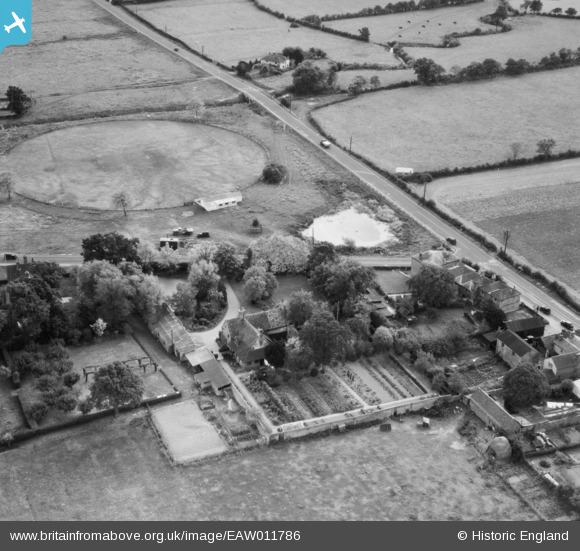
EAW011786 ENGLAND (1947). Maynards Farm, Blindley Heath, 1947
© Copyright OpenStreetMap contributors and licensed by the OpenStreetMap Foundation. 2026. Cartography is licensed as CC BY-SA.
Nearby Images (8)
EAW011786

EAW011792

EAW011789

EAW011791

EAW011787

EAW011790

EAW011788

EAW011793

Details
| Title | [EAW011786] Maynards Farm, Blindley Heath, 1947 |
| Reference | EAW011786 |
| Date | 9-October-1947 |
| Link | |
| Place name | BLINDLEY HEATH |
| Parish | GODSTONE |
| District | |
| Country | ENGLAND |
| Easting / Northing | 536446, 145294 |
| Longitude / Latitude | -0.047227721788636, 51.190040855242 |
| National Grid Reference | TQ364453 |
Pins

Matt Aldred edob.mattaldred.com |
Wednesday 10th of January 2024 04:09:07 PM | |
|
Matt Aldred edob.mattaldred.com |
Sunday 29th of November 2020 04:48:41 PM | |

Sparky |
Thursday 28th of September 2017 07:48:55 AM | |
|
Sparky |
Thursday 28th of September 2017 07:48:18 AM | |
|
Sparky |
Sunday 23rd of July 2017 06:25:08 PM | |

cptpies |
Friday 5th of December 2014 03:22:20 PM |
User Comment Contributions

Type 28 Infantry Variant, Blindley Heath |
cptpies |
Friday 5th of December 2014 03:25:05 PM |