
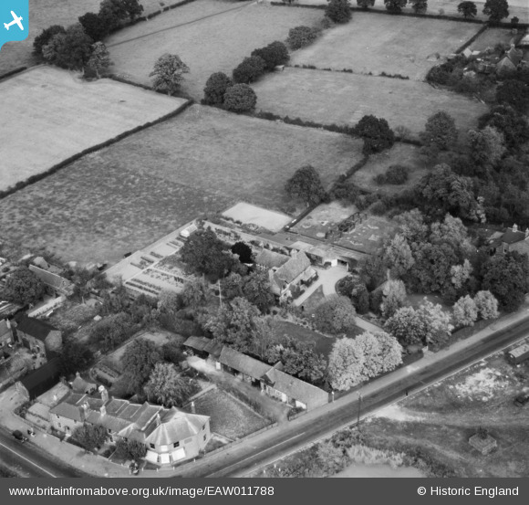
EAW011788 ENGLAND (1947). Maynards Farm, Blindley Heath, 1947
© Copyright OpenStreetMap contributors and licensed by the OpenStreetMap Foundation. 2026. Cartography is licensed as CC BY-SA.
Nearby Images (8)
EAW011788

EAW011787

EAW011790

EAW011793

EAW011792

EAW011786

EAW011789

EAW011791

Details
| Title | [EAW011788] Maynards Farm, Blindley Heath, 1947 |
| Reference | EAW011788 |
| Date | 9-October-1947 |
| Link | |
| Place name | BLINDLEY HEATH |
| Parish | GODSTONE |
| District | |
| Country | ENGLAND |
| Easting / Northing | 536462, 145361 |
| Longitude / Latitude | -0.046973414033359, 51.19063921392 |
| National Grid Reference | TQ365454 |
Pins
Be the first to add a comment to this image!