
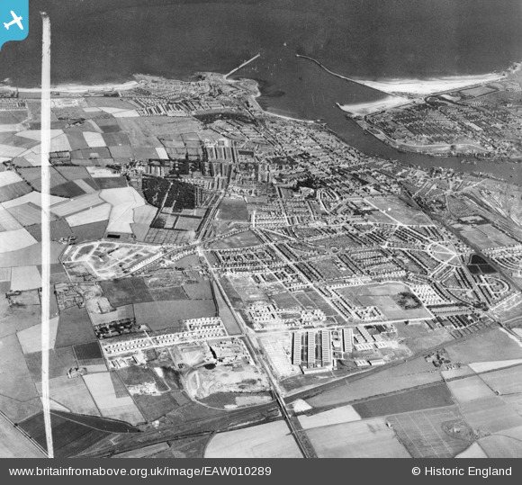
EAW010289 ENGLAND (1947). Development around West Chirton and Billy Mill, West Chirton, from the west, 1947. This image was marked by Aerofilms Ltd for photo editing.
© Copyright OpenStreetMap contributors and licensed by the OpenStreetMap Foundation. 2026. Cartography is licensed as CC BY-SA.
Nearby Images (3)
EAW010289

EAW010278

EAW010279

Details
| Title | [EAW010289] Development around West Chirton and Billy Mill, West Chirton, from the west, 1947. This image was marked by Aerofilms Ltd for photo editing. |
| Reference | EAW010289 |
| Date | 24-August-1947 |
| Link | |
| Place name | WEST CHIRTON |
| Parish | |
| District | |
| Country | ENGLAND |
| Easting / Northing | 432754, 568567 |
| Longitude / Latitude | -1.4877812417286, 55.010509986589 |
| National Grid Reference | NZ328686 |
Pins
Be the first to add a comment to this image!