
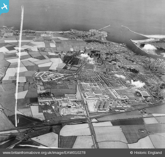
EAW010278 ENGLAND (1947). Development around Billy Mill and West Chirton, Billy Mill, from the west, 1947. This image was marked by Aerofilms Ltd for photo editing.
© Copyright OpenStreetMap contributors and licensed by the OpenStreetMap Foundation. 2026. Cartography is licensed as CC BY-SA.
Nearby Images (3)
EAW010278

EAW010289

EAW010281

Details
| Title | [EAW010278] Development around Billy Mill and West Chirton, Billy Mill, from the west, 1947. This image was marked by Aerofilms Ltd for photo editing. |
| Reference | EAW010278 |
| Date | 24-August-1947 |
| Link | |
| Place name | BILLY MILL |
| Parish | |
| District | |
| Country | ENGLAND |
| Easting / Northing | 432786, 568753 |
| Longitude / Latitude | -1.4872595112725, 55.012179431915 |
| National Grid Reference | NZ328688 |
Pins

redmist |
Sunday 28th of January 2024 10:59:49 AM |